TORS OF DARTMOOR
a database of both lesser- & well-known rocks and outcrops
Lower Hartor TorLower Hart Tor, Lower Har Tor, Lower Harter Tor, Little Harter Torr, Harter Tors 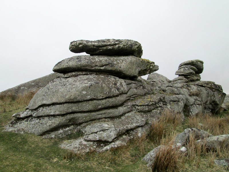 Of the two Hartor Tors sitting on the hillside below Eylesbarrow but above the River Plym, it is the Lower Tor that is perhaps the more impressive, boasting better outcrops that resemble giant marbles on the summit where a substantial clitter spills down to the river where the gradient steepens. Crossing (1909) himself remarks; "As we make our way down by the Plym through the great stream-work we pass under Lower Harter Tor. This is not a very large pile, but is, nevertheless, striking on account of the massive blocks of which it is composed. The ground around is strewn with granite." 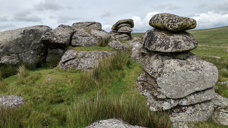 From the summit rocks, the views are very fine, especially looking up and down the River Plym where it passes beneath the less impressive opposing outcrops of Calveslake Tor and Little Gnats' Head. Above Giant's Hill the conical mound of the distant Hen Tor stands out, but closer what is more noticeable amidst the shallow valleys of Calves Lake and Langcombe Brook are the remains of tinners' streaming which was once an important industry on Dartmoor. Much of the valley here was dug for tin and the scars from this can be seen in the valley-floor which has been churned up, and there is more evidence of this further upstream in Evil Combe. Rounding the south side of Lower Hartor Tor, you realise that this is a grand rockpile displaying intriguing shapes with very strange jointings following no single pattern. Some outlying rocks seem to be poised as such to resemble logan stones but they are huge in comparison. 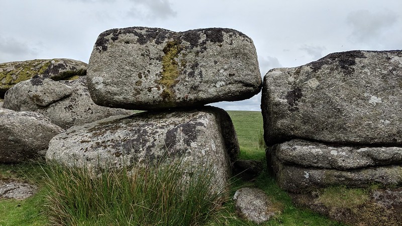 The area boasts some stupendous antiquities. Worth (1953) describes the nearby Drizzlecombe Group in his chapter on The Stone Rows of Dartmoor. He states that the collection is "the most neatly arranged group on Dartmoor and with the possible exception of Merrivale the sole example which shows what by our modern standards would be regarded as planning." His plan of the site shows two large cairns one of which is the Giant's Basin, four barrows, two kistvaens, a kerb retaining circle around an internment pit, two pounds and six hut circles. With the Drizzlecombe Complex situated below receiving much of the attention in this area, the tor is not visited that much, but it is a characteristic pile well worth visiting on account of the bizarre jointing in the granite and the fine views commanded from the top of surrounding curiosities. 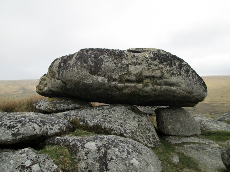
| ||||||||||||||||||||||||||||||