TORS OF DARTMOOR
a database of both lesser- & well-known rocks and outcrops
Lower Nap Tor
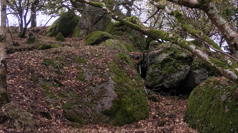 This small but surprisingly striking tor is hidden in trees but set in Private Land, just off the minor road that runs between Great Hound Tor Farm and Southcott at Homer Heales. 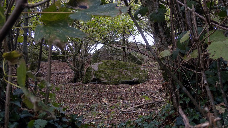 The rocks spill through the trees to the very edge of the road. 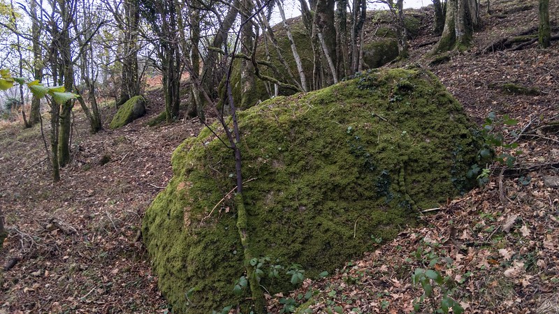 The name here is attributed to the Tithe Map of the parish of Manaton. 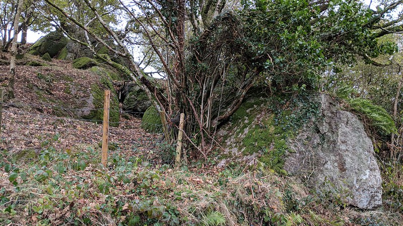
| ||||||||||||||||||||||||||||||