TORS OF DARTMOOR

a database of both lesser- & well-known rocks and outcrops

Home Search Map The East Access About Team Social Blog

Lower Thornworthy Tor

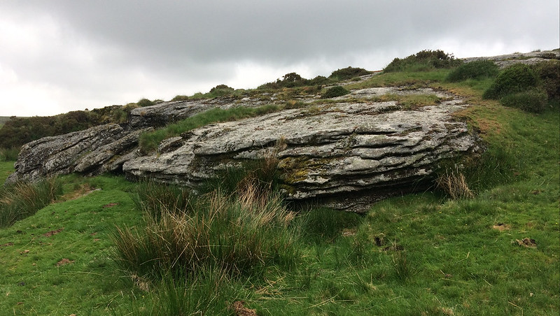
This is a huge piece of exposed granite bedrock below the Ordnance Survey marked Thornworthy Tor on its south-south-west shoulder. Dave Hamnett first drew our attention to this tor.

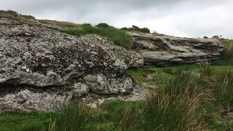
It presents itself below the footpath as a large sloping outcrop that appears to have been cut at the south side with irregular edges. This is believable as, when looking at Old Ordnance Survey maps, the outcrop is clearly shown much larger.
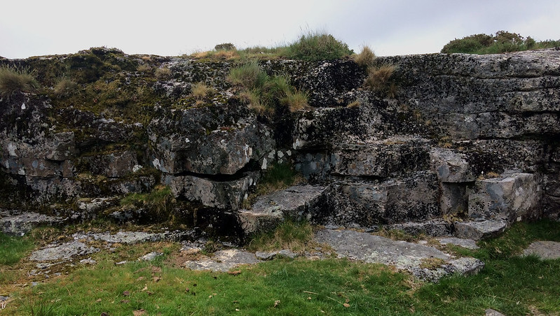
icon
icon
Lower Thornworthy Tor
The map above is not a navigation tool and we recommend that the grid reference shown below is used in conjunction with an Ordnance Survey map and that training in its use with a compass is advised.
Grid Ref:
SX 6630 8485
Height:
410m
Parish:
Chagford
Tor Classification:
Emergent
Access:
Public
Rock Type:
Granite
Credit:
Dave Hamnett
Reference / Further Reading:

Please Support Us

We are proud to see the names of lesser-known tors are now being used more commonly on other websites and whilst this is to be encouraged we do request that, should you wish to use the information on this page, you provide a backlink to the website as reference, by copying the relevant address:

https://www.torsofdartmoor.co.uk/tor-page.php?tor=lower-thornworthy-tor

Please also consider a small donation to the upkeep of the site; any contribution goes toward the fees to keep the database online and any costs incurred when undertaking research such as subscriptions to online archives.