TORS OF DARTMOOR
a database of both lesser- & well-known rocks and outcrops
Lower Weckford Rocks
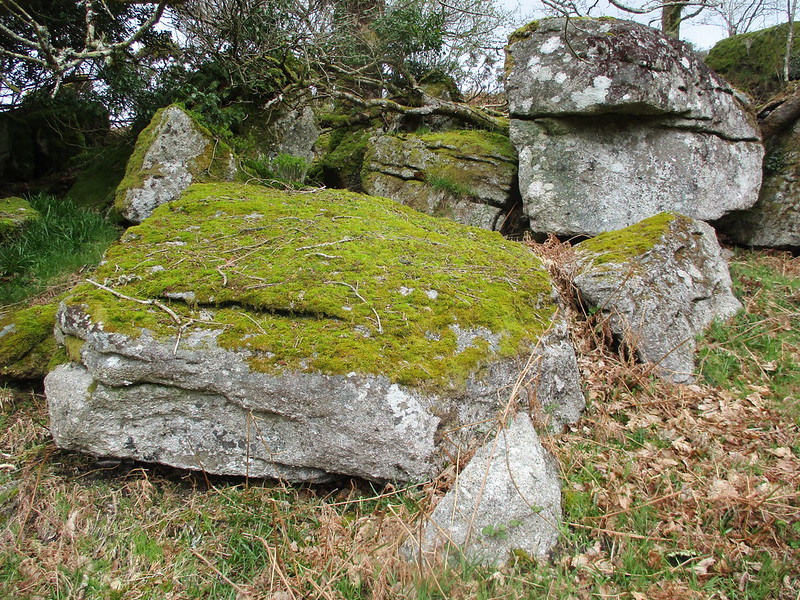 To the east of Week Ford, in a parcel of open access land, are situated several low outcrops and scattered boulders. Spotted by Paul Buck and Tim Jenkinson whilst walking down the road between Hexworthy and Saddle Bridge in August 2020 the rocks were at that time surrounded by a proliferation of bracken and furze. However, three years later all of that has changed as a result of the scrubby moorland being burnt through a process known locally as 'swaling' to reduce vegetation which has made the rocks more visible and accessible. 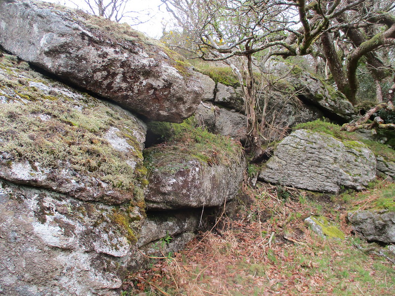 Although somewhat low-lying the rocks here are themselves interesting because they are spread through small pockets of trees. Access to the site is only possible by passing through a gate at SX 6617 7247 and following the winding and ill-defined path alongside the river. The western section, after passing through the gate, is shortly and above to the left; a delightful gathering of granite hunkered beneath trees at SX 66261 72479. Some of the low outcrops here are so well protected by the trees that they exude vibrant mosses. 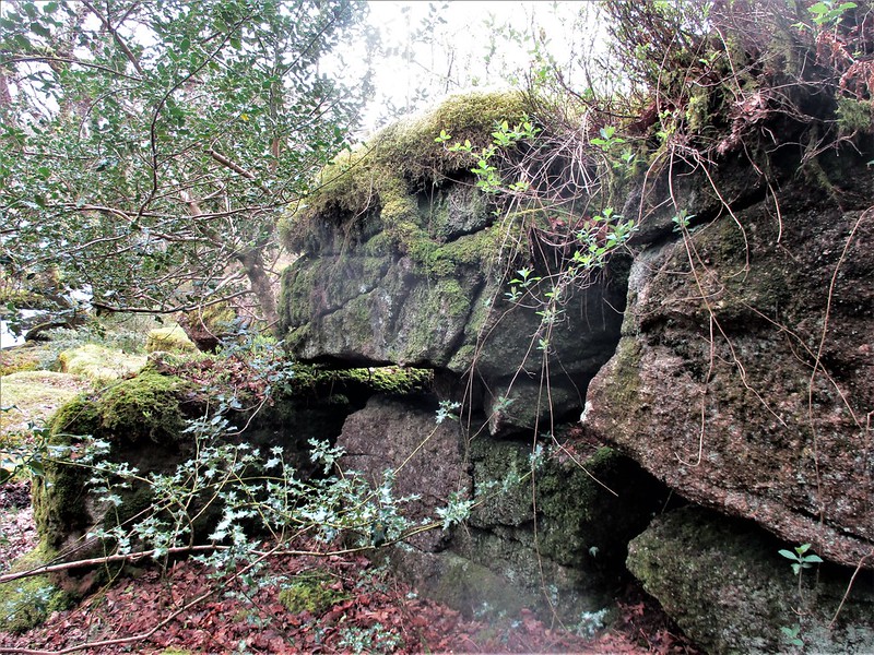 Back on the path, heading east, you enter a wooded area and are forced to make your way around puddles and awkwardly sited rocks. Persevere through as it opens out into another moorland area. All along the left of the valley side granite is speckled between the burnt gorse with distinctive horizontal jointing. The best part has to be at SX 66438 72470 where once again we enter woodland, this time abutting Clay Brake. On the edge of the open access boundary, there is a dilapidated rockpile which has cast a clitter all around. A wall separating the public land from private runs through a vegetated-topped outcrop. 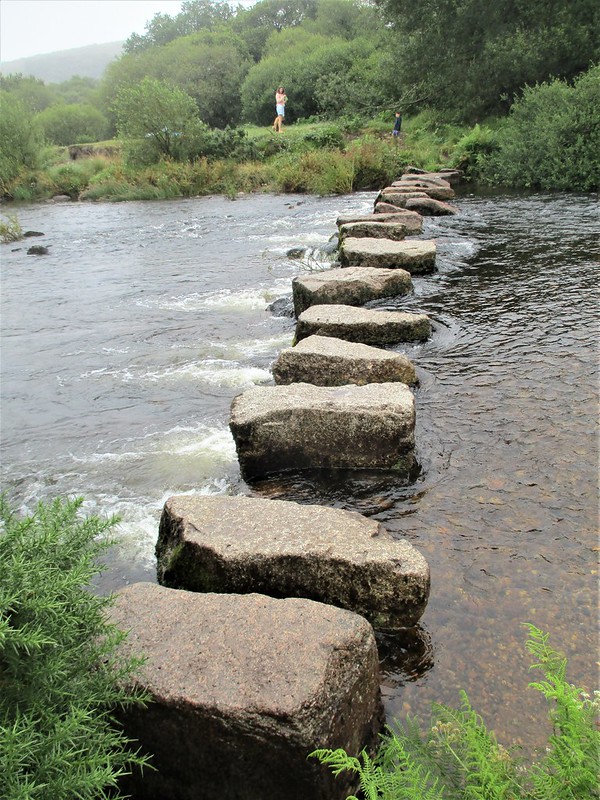 The sweeping hillside here, marked as Lower Weckford on the old Tithe Maps, is quite insignificant in altitude, but the West Dart River that passes beneath is absolutely stunning and the rocks offer a tantalising glimpse of its hidden cascades and pools. Week Ford itself is a well-known crossing point and has a set of sturdy stepping-stones. However, the stones can be difficult to cross, especially when the river level is up. The ford was once a boundary point on the Perambulation of AD 1240, where close by the O Brook empties into the river. It is a glorious place to be on a summer's day although it should be noted that Lower Weckford Rocks are easier to reach in winter and spring as there is much less gorse and overhanging branches to negotiate.
| ||||||||||||||||||||||||||||||