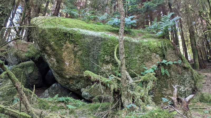
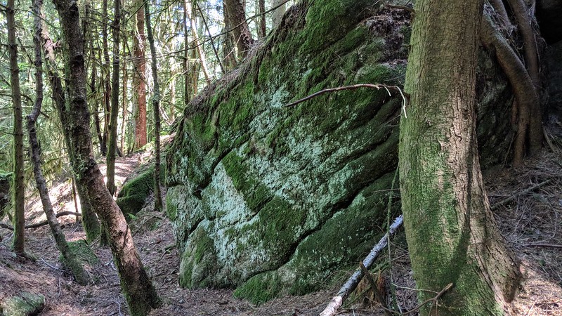
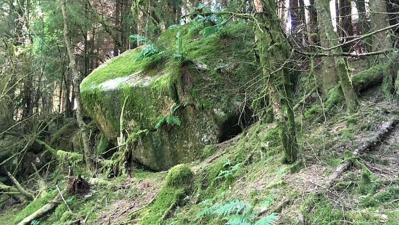
A continuation of its higher neighbour this tor is composed of a couple of large outcrops sitting on the valley side in the west of the Roughtor Plantation.
As with all of the tors in this area, straying from the logging tracks should be taken with care, and you should be attentive with your footing, especially around the mines in the north-east of the plantation.
Lower West Rough Tor
The map above is not a navigation tool and we recommend that the grid reference shown below is used in conjunction with an Ordnance Survey map and that training in its use with a compass is advised.
Grid Ref:
SX 5713 6879
Height:
254m
Parish:
Sheepstor
Tor Classification:
Small
Access:
Public
Rock Type:
Granite
Credit:
Keith Ryan
Reference / Further Reading:
Dartmoor News, Issue 154 January/February 2017, "In Search of Rough Tor" p. 55. Dartmoor Cam: Roughtor Plantation Tors
Please Support Us
We are proud to see the names of lesser-known tors are now being used more commonly on other websites and whilst this is to be encouraged we do request that, should you wish to use the information on this page, you provide a backlink to the website as reference, by copying the relevant address:
Please also consider a small donation to the upkeep of the site; any contribution goes toward the fees to keep the database online and any costs incurred when undertaking research such as subscriptions to online archives.