TORS OF DARTMOOR
a database of both lesser- & well-known rocks and outcrops
Lower White TorLower Whiten Tor, Little Whitten Tor, Beyonder Tor, Beeyonder Tor, Beeryonder Tor, Bearyonder Tor, Waydown Tor (Rowe)
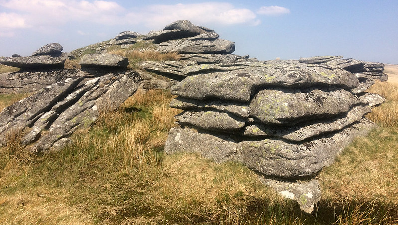 Lower White Tor, as its name implies, is lower than its higher neighbour and although it presents as a more compact group it is nonetheless a rather disappointing set of outcrops amid marshy ground that can be soggy walking; a distinct contrast to the firmer ground to the south nearer Higher White Tor. Though a well-travelled path connects these tors and others, you should take care as the marsh, almost a moat surrounding Lower White Tor, hides holes and the ground can be noticeably treacherous after heavy rainfall. 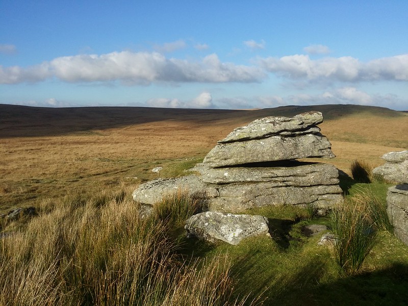 Eric Hemery (1983) comments on the composition of the tor: "The highest rock, although not a balanced logan-stone, is likely to become one, for it is slightly movable on its pivot. There is a very small logan on the south-east side of the pile, and weathering on the west side gives the effect of pseudo-bedding. A larger logan-stone, though having but slight movement, is seen on the south side..." 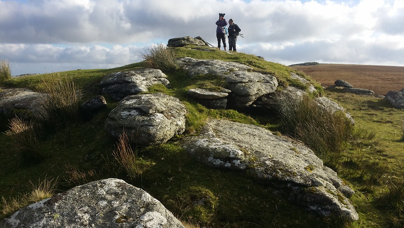 The tor's rocks are heavily jointed and partially grass-covered, but they provide a good point at which the rambler can find a perch from which to observe the interesting vista which, from left to right, takes in Rough Tor, northward, with its military hut atop making the tor resemble a submarine from here; the West Dart looking upstream towards its confluence with Summer Brook; Brown's House directly below Wildbanks Hill; Braddon Tor across the Cherry Brook with the newtake wall following up alongside it; and, eastward, the impressive bowl of Archerton Bog with the distant heights of Hamel Down and Rippon Tor, to name but a few. 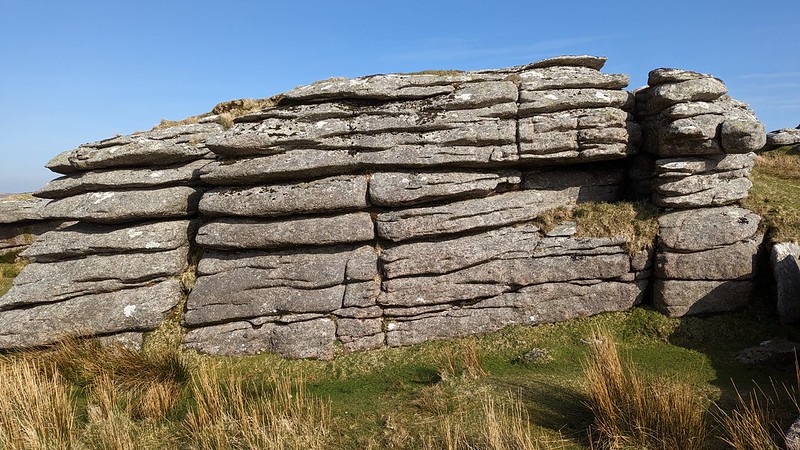
| ||||||||||||||||||||||||||||