TORS OF DARTMOOR
a database of both lesser- & well-known rocks and outcrops
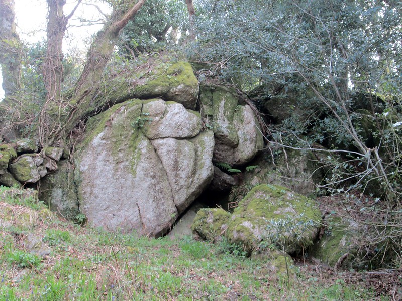
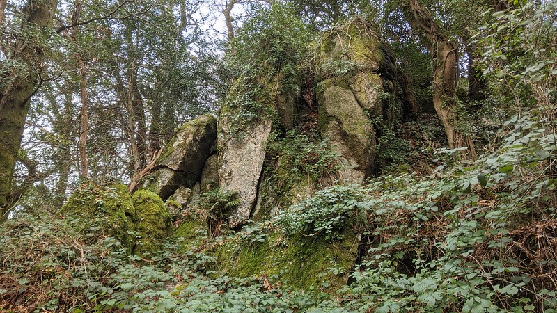
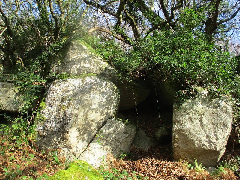
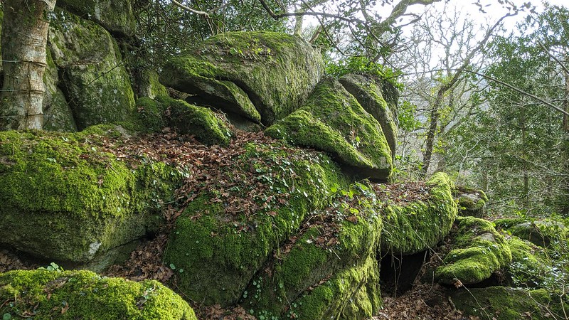
Lustleigh Cleave Higher Rocks There is a tremendous succession of rockpiles along the top of the Cleave, but most of these fail to receive any credit on Ordnance Survey maps. Those at the north-west end, between Hunter's Tor and Sharpitor, are quite well-known, yet the lower range of tors between Lower Sharpitor and Gradner Rocks unfortunately seem to miss out on such visitations, and only Gradner is named. These equally grand outcrops are all involved with field boundaries that are clear to see on the Tithe Map of the 1840s.  In his account of Higher Rocks from 2022, we learn from Max Piper that "This fabulous rockpile is found near the top of the wood in Lustleigh Cleave and halfway between Lower Sharpitor and the tor below Waye Farm." This is indeed a mesmerising tor that requires thorough exploration.  The main outcrop, a huge beetling crag entangled in vegetation, is partly involved with a wall and gives rise to a widespread tumble of mossy granite boulders. The best place to view the tor is from the underside where a fun little path threads its way below the giant sentinel. In winter you can see more of the rockpile and clamber over the many rocks that litter this south-eastern corner of Lustleigh Cleave.  First named in 2016 by Tim Jenkinson, it should be noted that this fantastic boulder-strewn landscape is not without its hazards, and anyone wishing to explore the area should take great care, especially when the leaves are slippery.
| ||||||||||||||||||||||||||||