TORS OF DARTMOOR
a database of both lesser- & well-known rocks and outcrops
Luxton TorSaddlesborough Hill 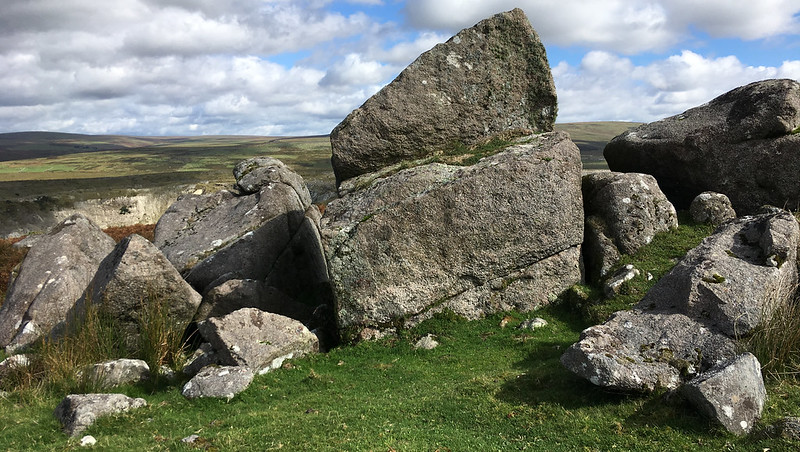 A short distance to the north of the OS triangulation pillar on Saddlesborough Hill are the much scattered and broken remains of the tiny Luxton Tor. Consisting of a few large and split boulders, the tallest of which is no more than two metres high, what is left of the tor lies beneath a small but ransacked cairn. The name of 'Luxton' is unusual in so much that Eric Hemery is the only person to refer to it as most people know the rocks simply as 'Saddlesborough'. Indeed, in Terry Bound's first A to Z he uses only that name and states that it is 'made up of large outcrops which are not so tall on the northern side' he goes on to describe it as 'quite an attractive spot in itself although it has the china-clay works sprawling over the terrain on one half of the panorama'. 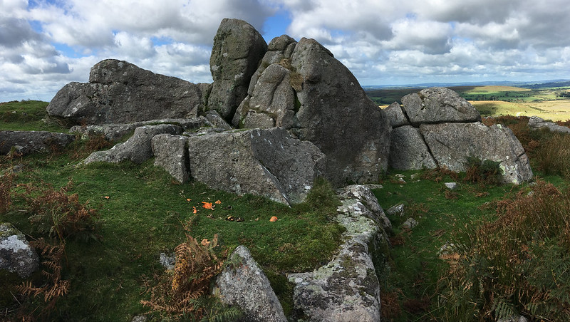 If the visitor is prepared to look beyond the scars of industry there are a number of tors and hills in view. Panning from the east to north a fine vista unfolds that includes Penn Beacon, Shell Top and the tors of Hexton, Trowlesworthy, Hen, Sheeps, Leather and Sharpitor. Both authors refer to a tree at the site with the former describing it as 'a wind thrashed but vigorously resistant thorn' but it was eventually uprooted in strong gales in the mid 1990s and was removed shortly thereafter. 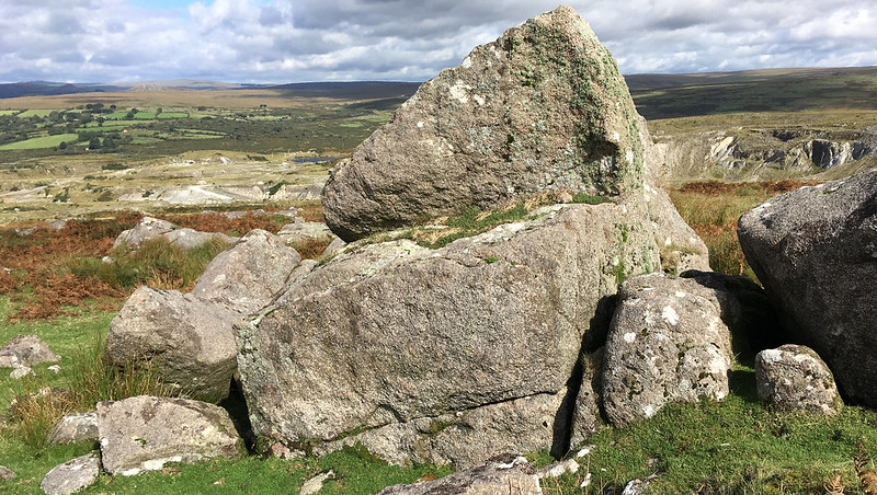 As a result of the accumulating industrial debris beneath the tor the eastern slopes have become known locally as 'White Hills' although this is not a term of endearment. Not many people welcome what is seen as the increasing encroachment in this area that once threatened to engulf the Blackabrook Valley under Trowlesworthy Tors and the hillside to the south of Saddlesborough, including the quirky Hawks Tor. Two influential publications on the subject first in 1998 from the Dartmoor Preservation Association and a second by Dr Tom Greeves in 1999 jointly compiled a detailed case against the expansion of the works. As a result, on June 20th, 2001 following an environmental assessment of the area, clay companies Imerys and Watts Blake Bearns relinquished their mineral permissions on Dartmoor National Park, along with their rights to quarry in the Blackabrook Valley and dump waste on Shaugh Moor. This also meant that both Saddlesborough Hill and the remnant of Luxton Tor were to be saved, along with various antiquities and boundary stones that are set in the vicinity. 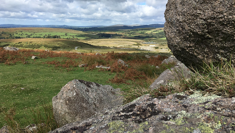
| ||||||||||||||||||||||||||||||