TORS OF DARTMOOR
a database of both lesser- & well-known rocks and outcrops
Lydford TorLidford Tor 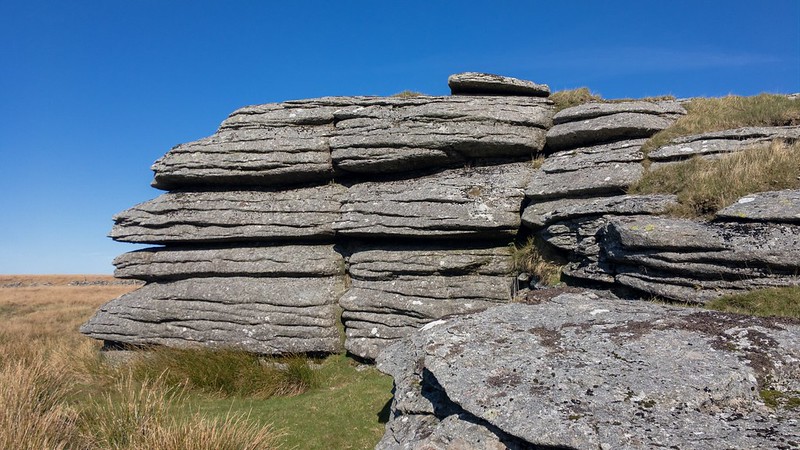 Wedged between the valleys of the Cowsic and West Dart Rivers there is a great ridge of high open moorland that gives rise to numerous tors, the best-known perhaps being the Beardown Tors that command vistas that are beyond comprehension. Yet there is a somewhat isolated tor that is of equal interest to the north, one that is characterful and situated close to the infamous Lych Way. 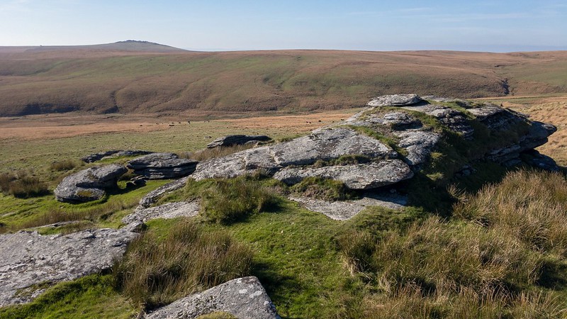 Lydford Tor sits on the gentle south slope of Methern Hill close to a wall where a tall stile enables access from the north. The tor has beautiful surroundings and its outcrops are noted for their repetitive horizontal jointings that are perhaps best displayed on the south-west side of the highest rockpile. The tor's clitter is pretty impressive and towers above the Cowsic River's numerous meanders just after it has left Broad Hole and the infant Beardown Brook that rises a short way below the outcrops. Indeed, Hemery (1983) says that "Although its rocks attain to no great height, the dense clitter on the south-west side provides evidence of its former size." 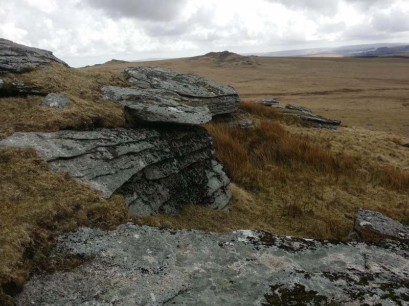 A little rock shelter has formed on the north-east side of the main outcrop like a little hollow that has been removed from the core. This may also provide a good windbreak in a strong northerly wind. Other outcrops are decorated with short, cropped grass and numerous broken slabs rest at slanted angles below the summit rocks. Another interesting point is the tor's name: how did it become associated with the village of Lydford that is situated on the extreme western side of the moor? It is likely down to the tor's proximity to the Lych Way, one of the moor's old tracks that served an important, albeit morbid, purpose. Bound (1985) comments that "Most people have seen or heard of a lich-gate, a thatched or tiled entrance to a churchyard, which was the penultimate resting place of the departed before the service and burial. The Lich Way or Path on Dartmoor is therefore not where the dead walk but a route along which they were taken to their parish church, in a coffin!" 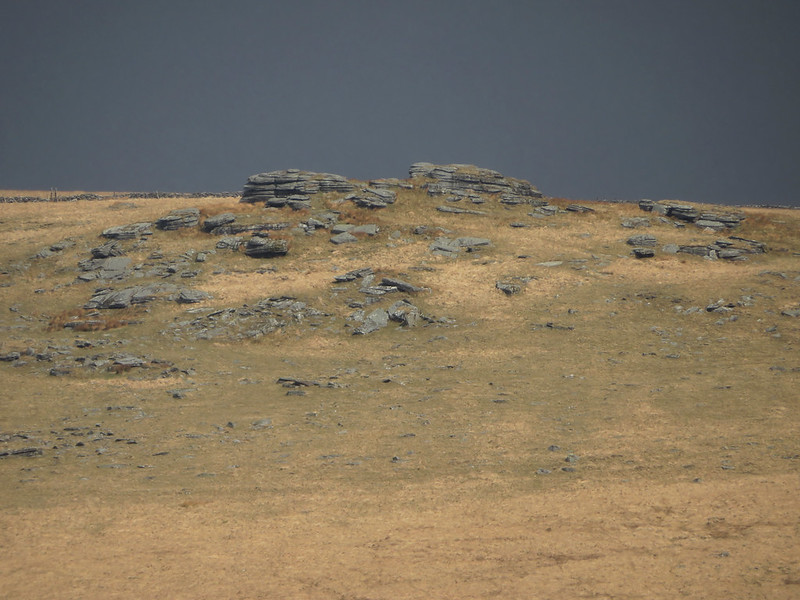 But the Way does have alternative routes. Worth (1953) adds that "the Bishop found that the way to Lydford which had to be taken in bad weather was seven miles longer than that which served when the weather was good... the shorter path continuing to Longaford Tor, in an approximately direct line, thence across the neck between Beardown Tors and Lydford Tor, and so to a ford over the Cowsic under Conies Down Tor." The speculation is that the longer route was further south by Merrivale reaching Lydford via Peter Tavy. Lydford Tor is an altogether intriguing and mysterious place that would have overseen the laborious activities taken by parishioners in times gone by, times that are so difficult to imagine today.
| ||||||||||||||||||||||||||||||