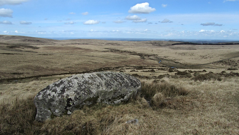
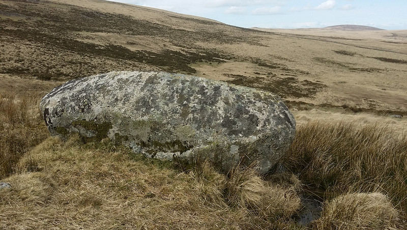
A small granite rock on the north slope of Manga Hill, south of Hugh Lake with good views eastward over the Shovel Down antiquities.
You might be wondering why such an insignificant rock would be named, but Hemery assures us; "Small rock outcrops occur on the north-east shoulder of the hill of which one, an elongated lump of bedrock known as 'Manga Rock', bears its north face with the letters 'GP', for here runs the boundary line.."
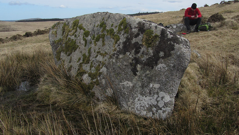
Manga Rock
The map above is not a navigation tool and we recommend that the grid reference shown below is used in conjunction with an Ordnance Survey map and that training in its use with a compass is advised.
Grid Ref:
SX 6361 8579
Height:
450m
Parish:
Dartmoor Forest
Tor Classification:
Boulder
Access:
Public
Rock Type:
Granite
Credit:
William Crossing Ordnance Survey
Reference / Further Reading:
William Crossing: Guide to Dartmoor Eric Hemery: High Dartmoor Ordnance Survey Maps
Please Support Us
We are proud to see the names of lesser-known tors are now being used more commonly on other websites and whilst this is to be encouraged we do request that, should you wish to use the information on this page, you provide a backlink to the website as reference, by copying the relevant address:
Please also consider a small donation to the upkeep of the site; any contribution goes toward the fees to keep the database online and any costs incurred when undertaking research such as subscriptions to online archives.