TORS OF DARTMOOR
a database of both lesser- & well-known rocks and outcrops
Middleworth TorHemery's Snappers Tor, Blacktor
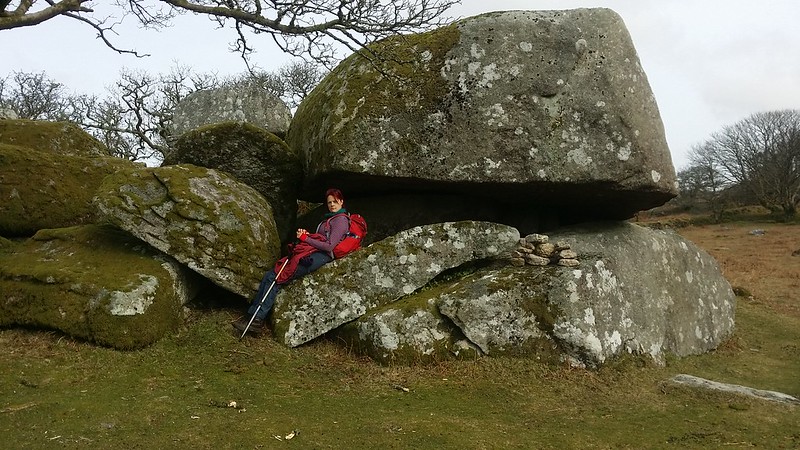 A low pile set amongst trees within the boundary walls of Middleworth Farm, consisting of moss covered boulders and numerous rock basins. Although this is the generally accepted position of Middleworth Tor, Hemery, in High Dartmoor, called this Snappers Tor and placed Middleworth Tor higher. Hemery was actually the first to mention Middleworth and went into great detail to describe both tors. William Crossing only mentioned Snappers, his description clearly placing it on the Down Tor ridge. Tracking the route that Crossing took in his Gems in a Granite Setting, he likely would not have seen the lower outcrop within the boundary wall. 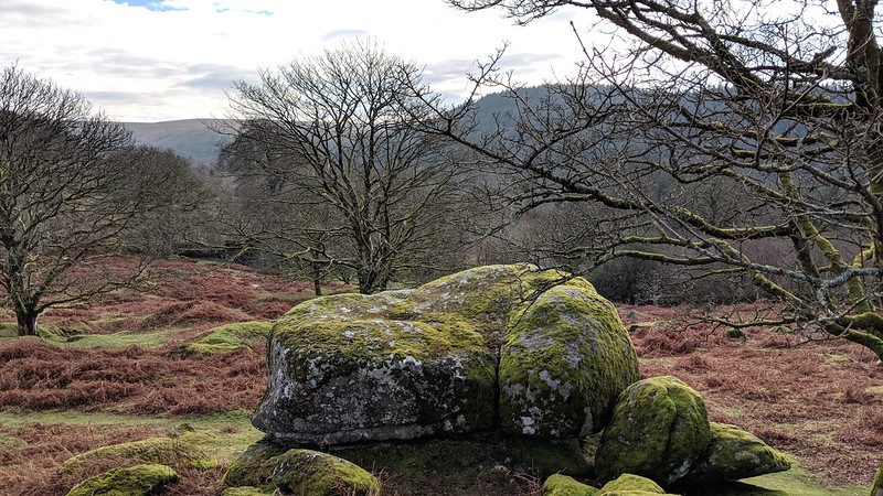 Looking to the Tithe Map for clues, we find the higher plots of land are called 'Snappers', supporting Crossing's location for Snappers Tor, and the lower pile is Middleworth Tor, it being nearer the farm of the same name. Writing in 1997 in response to an article by Tim Jenkinson earlier in the year Tom Greeves provides the following information; "Tim Jenkinson (Dartmoor Magazine 46 p19) has rightly drawn attention to the difficulties of naming tors in the vicinity of Down Tor." 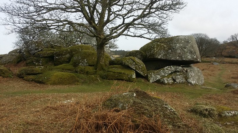 He continues; "The solution is made no easier by the fact that in the 17th Century one of the rock piles was almost certainly known as Blacktor, for in 1631 it gave its name to a tinwork said to be 'lyinge at Myddleworthie' (i.e Middleworth) within the parish of Walkhampton (West Devon Record Office 72/990). A quarter part of this 'Blacktorr' tinwork was conveyed by John Wollcombe the elder of Shittestor (i.e Sheepstor) and his son John to John Hele of Shaugh. Although evidence of tinworking exists in much of the area, it is the most westerly rock pile at SX 5710 6925 which is most obviously adjacent to the tin pits which extended south eastwards towards Middleworth Farm which is only 100m distant." 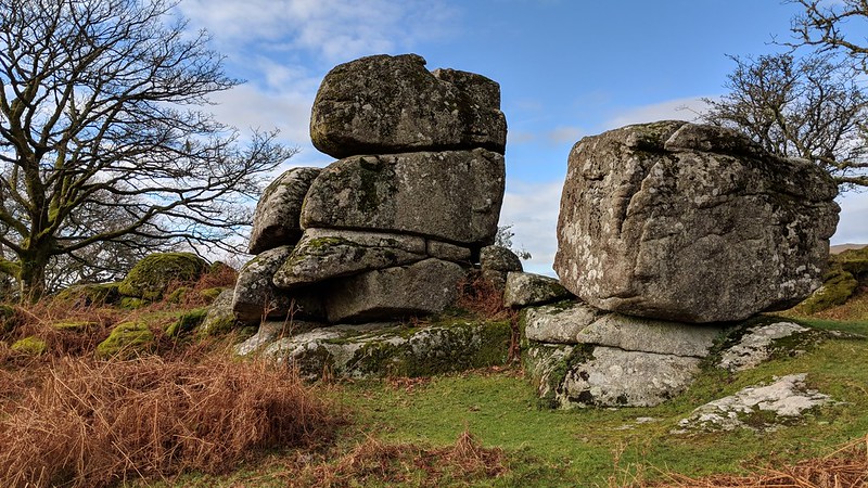
| ||||||||||||||||||||||||||||