TORS OF DARTMOOR
a database of both lesser- & well-known rocks and outcrops
Mount Ararat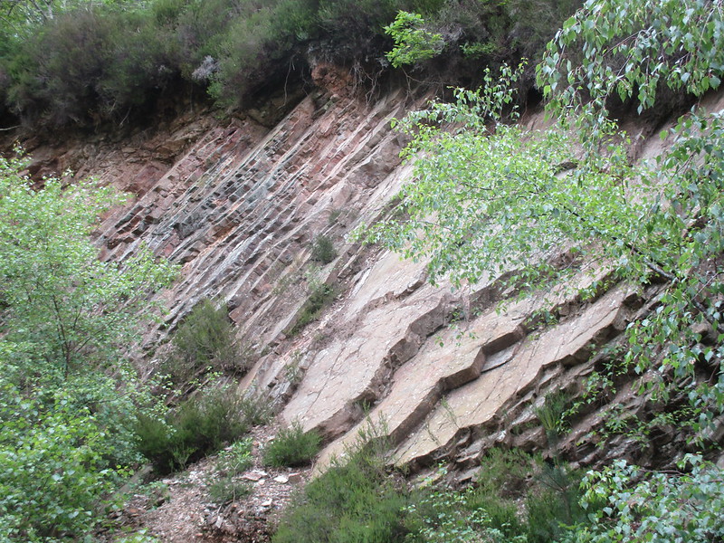 The curious Mount Ararat in the Parish of Ilsington on South Dartmoor has seemingly taken its name from the Biblical reference to the exploits and final resting place of Noah's Ark. However, the present day Mount Ararat is now aligned to a high hill in Turkey, so just how a much inferior elevation in South Devon came to acquire the same name is quite a mystery. To be more specific the area on South Dartmoor is represented as an elongated ridge of rock on OS maps and on closer examination we find a most unusual rock type on this densely wooded hillside. 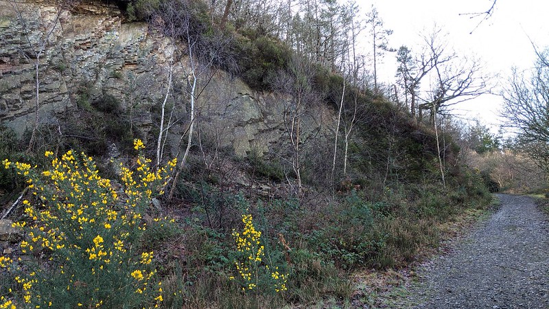 Various Geological explanations have attempted to describe the phenomenon: The British Geological Society's Lexicon of Named Rock Units (2020) gives the following account; 'South of Ilsington, it is taken at the sharp boundary of the black mudstones of the "Ararat Slate" (Teign Chert Formation) or the buff weathering calcareous laminated siltstones at the top of the underlying "Rora Slate". Chert is identified as sedimentary rock consisting almost entirely of silica, and can form in a variety of ways. Biochemical chert is formed when the siliceous skeletons of marine plankton are dissolved during a process known as diagenesis, with silica being precipitated from the resulting solution. Apparently, replacement chert forms when other material is replaced by the silica, that being petrified wood forms when silica rich fluids percolate through dead wood and the silica precipitates to replace the wood.' Are you with this? The account continues; 'Chert can also form through direct precipitation from silica rich fluids, for example agate is formed by the precipitation of silica in voids within a rock.' So there we have it. The rock faces here are rather unusual. 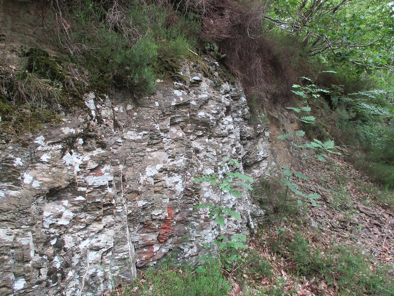 The Chert formations at the Mount are quite impressive and they closely resemble slate, having weathered to form distinctive ridges, cracks, and lines in the layered rock face. Way below the highest point is another formation now total consumed by vegetation, but not far above the lower path that runs from Woodgate Cottages at Liverton out to the hamlet of Lounston. Shrouded in trees and rarely reported upon Mount Ararat is a hidden treasure amid the sprawl of woodland high above and to the south and west of the village. 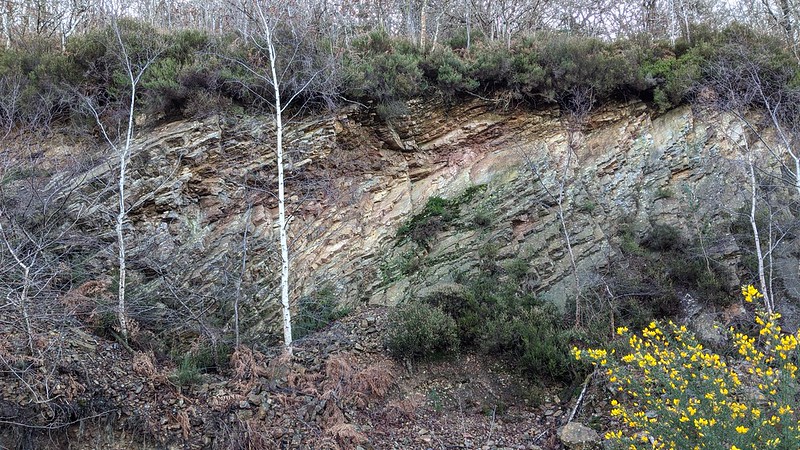
| ||||||||||||||||||||||||||||