TORS OF DARTMOOR

a database of both lesser- & well-known rocks and outcrops

Home Search Map The East Access About Team Social Blog

Nattadon Common

Nat Tor Down

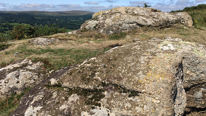
There is low exposed granite on the summit of Nattadon Common, however, the better outcrops are off this to the south. The southernmost outcrop, at SX 7048 8656 is the most obvious. There are good views from here.

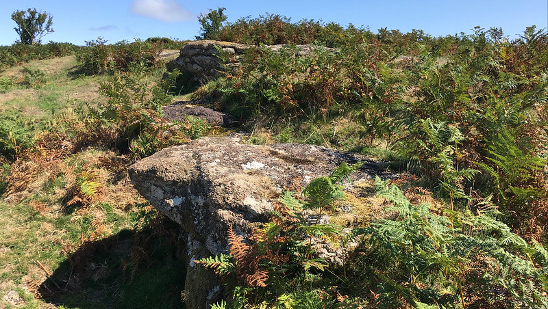
Many public footpaths wrap themselves around the summit for the visitor to find their own way up to the top.
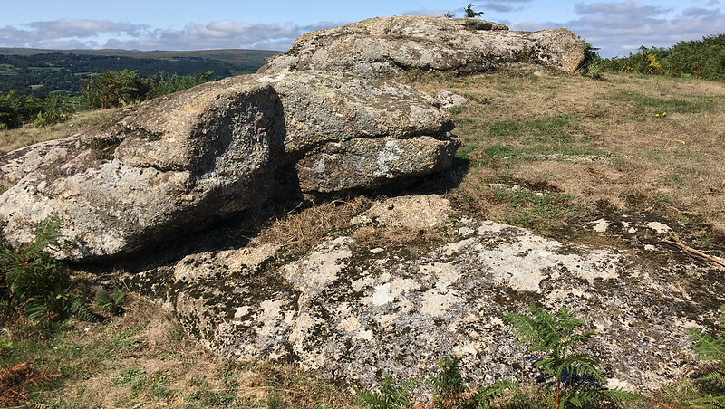
icon
icon
Nattadon Common
The map above is not a navigation tool and we recommend that the grid reference shown below is used in conjunction with an Ordnance Survey map and that training in its use with a compass is advised.
Grid Ref:
SX 705 866
Height:
333m
Parish:
Chagford
Tor Classification:
Emergent
Access:
Public
Rock Type:
Granite
Credit:
Ordnance Survey
Reference / Further Reading:
Ordnance Survey Maps

Please Support Us

We are proud to see the names of lesser-known tors are now being used more commonly on other websites and whilst this is to be encouraged we do request that, should you wish to use the information on this page, you provide a backlink to the website as reference, by copying the relevant address:

https://www.torsofdartmoor.co.uk/tor-page.php?tor=nattadon-common

Please also consider a small donation to the upkeep of the site; any contribution goes toward the fees to keep the database online and any costs incurred when undertaking research such as subscriptions to online archives.