TORS OF DARTMOOR
a database of both lesser- & well-known rocks and outcrops
Netton Cleave East Rocks
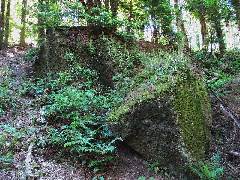 Netton Cleave Wood has a wealth of grand rockpiles that stud the steep north slope above the Beadon Brook, on the eastern side of Dartmoor. At the far eastern end of the Cleave, above a tributary of the aforementioned Brook, lies a somewhat dilapidated rockpile that is condemned to perpetual twilight on account of it being hidden by a dense canopy of conifers. There is a modest cluster of granite here that is indicative of an emergent rockpile confirmed by a large tree resting on its top. 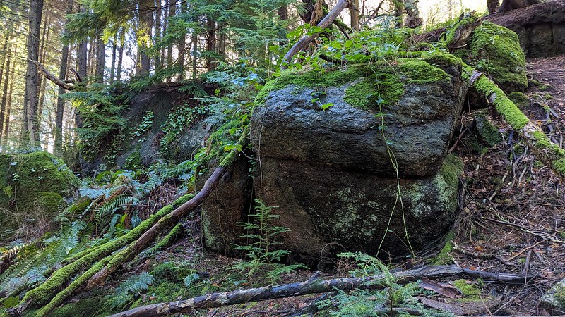 It can be found in proximity to a few tracks that criss-cross the woodland here and is best approached from the pathway above which climbs the hillside from the Beadon Brook. Much of Netton Cleave is deciduous woodland that is classed as temperate rainforest and invaluable for harbouring rare mosses and lichens that cling onto the trees and boulders. Some parts are deemed 'Ancient Semi-Natural Woodland' that have been wooded since 1600 AD. It is a segment of the much larger 'Canonteign Forest' and we learn that: "The forest is predominantly made up conifer stands with outstanding crops of Douglas fir and Sitka spruce, growing at a high yield and quality, many of which are on registered ancient woodland. On the plateau clearfell continues to be the most appropriate form of management due to shallower rotting depth and high wind exposure. Whilst on the valley sides and bottoms the development of low impact silvicultural systems has been ongoing for several decades and can be continued, with very large fir trees a notable feature of these areas." 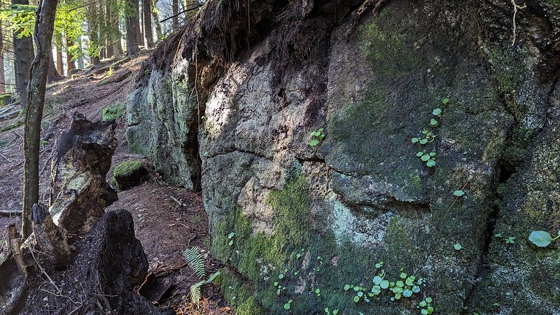 The Canonteign Forest Management Plan for 2021-2031 advises that an area of western hemlock will be felled between 2022 and 2026, and this so happens to be where this small tor resides. This means that, perhaps, once the trees here are felled there will be a not only delightful view to the south across the valley, but also more of the small tor's substance that will be revealed. 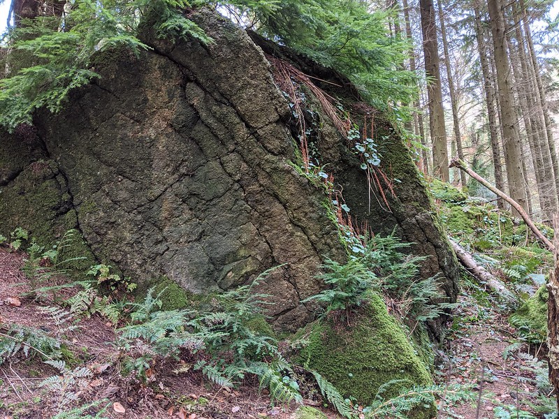 Netton Cleave is managed as part of the greater 'Canonteign Forest' by Forestry England with public access that can be enjoyed by walkers, horse riders and mountain bikers. It is a working forest so visitors should heed all signage and directions if forestry operations are taking place.
| ||||||||||||||||||||||||||||||