TORS OF DARTMOOR
a database of both lesser- & well-known rocks and outcrops
Newtake Rocks
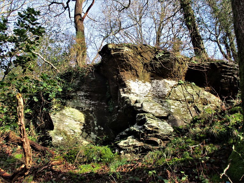 As the River Mardle approaches Buckfastleigh from the north-west it passes beneath an imposing, elongated ridge above its left (east) bank. Partially covered by trees you may glimpse, from the road between Billberryhill and Merryfield, small crags high up on the hill where the trees are more sparse. 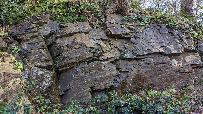 We have found out that this land was historically named in the Tithe Apportionments as 'Newtake', but this gives little clue as to the severe gradient of the land in question. The ridge is extremely precipitous and on its southern flank it has been quarried. The ascent up to the rocks is extremely steep and the quarry drop dangerous so visits are not recommended for the majority. 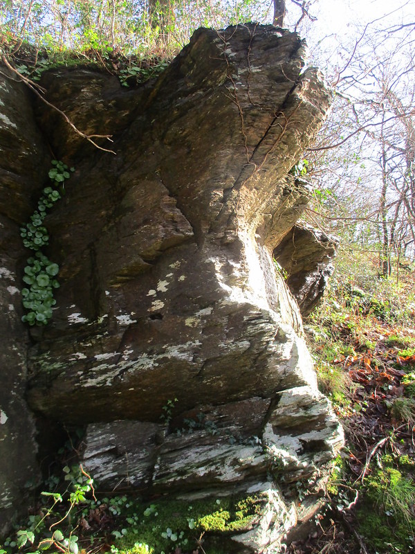 We learn from the British Geological Survey that the rock type is "Upper Devonian Slates - Slate. Sedimentary bedrock formed between 382.7 and 358.9 million years ago during the Devonian period." Rather on the contrary to granite, this rock is well-known for being quite weak and crumbles under pressure, but it was nonetheless in demand as it was used for decorative purposes such as floor tiles. It is unclear when workings ceased here. 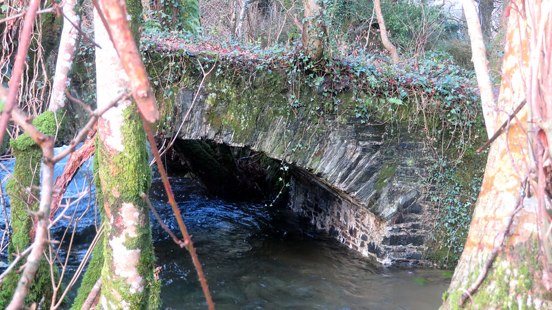 The sedimentary outcrops reside above the workings near the top of the wood and are widespread. None of them rise to any great height but they are indicative of an emergent rockpile, with perhaps the best substance of the rocks long gone thanks to the quarrying industry. A public footpath leaves the aforementioned road, crosses a lovely old arched stone bridge and enters the woodland. The rocks lie above this on private land and, in addition to this, the aforementioned dangers are so great that permission should be sought first for your own safety.
| ||||||||||||||||||||||||||||||