TORS OF DARTMOOR
a database of both lesser- & well-known rocks and outcrops
Oakmoor Wood Rocks
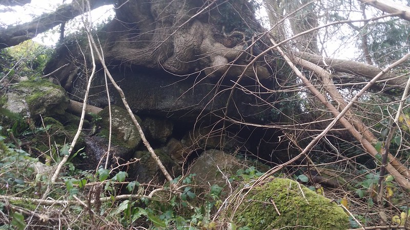 Oakmoor Wood in the parish of Buckland in the Moor has its own entry in the Historic Environment Record (HER) for Devon and Dartmoor where it is said to adjoin 'North Wood and Pudsham Wood' and 'is mentioned in documents from the mid 14th to early 18th Centuries'. More recently P.M. Belsey (1983-87) states that the Wood is situated on the east bank of the River Webburn and according to the HER one of the documents that its name appears in is a Survey of the Lands of EP Bastard from 1735. Dave Brewer (2002) explains that in 1578 the Manor of Buckland-in-the-Moor was sold by Thomas Carewe to Ralph Woodley of Halsanger who in turn sold it to the Bastards of Kitley in 1614, and that between that date and 1837 the family members undertook a series of perambulations describing their bounds, culminating in the erection of a number of boundary stones many of which survive to this day (see Landscore Tor). 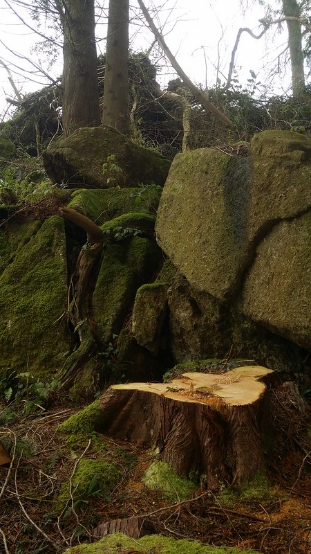 The rock pile at Oakmoor has a rather scruffy appearance lying on the slope above the higher track of the Wood. The upper section is nowadays almost completely disguised by the roots of a tree that grows over it. The most distinctive part presenting as a squat but rather low outcrop is set on the lower slope and a small stream runs down through the middle of the rocks. 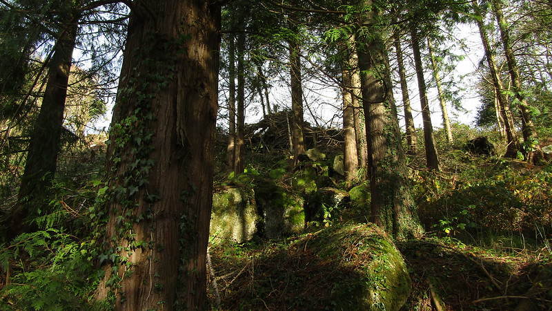 Collectively, they can never have been of any great height but the rocks here do give the impression of having toppled down the bank perhaps disturbed and broken up by successive decades of tree felling in the area. Overgrown in the summer months with bracken and briars the rocks are much better regarded later in the year when the vegetation has died back. 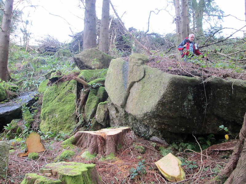 Please be advised that this is private land, and will therefore require a walking permit to visit, obtainable from Fountain Forestry who manage the woodland on behalf on the current landowner.
| ||||||||||||||||||||||||||||||