TORS OF DARTMOOR
a database of both lesser- & well-known rocks and outcrops
Owlacombe Burrow RockOwlacombe Barrow Rock, Owlicombe Burrow, Hollowcombe Burrow 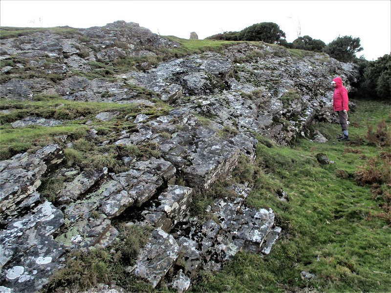 There is an emergent non granite rock face at Owlacombe Burrow some 400 metres or so to the east of the small parking areas above and below the minor road to Manaton at the eastern foot of Haytor Down. At the west end of the low outcrop there is a boundary stone one of a series set up in the mid 19th century by the then 11th Duke of Somerset Edward Adolphus St Maur to demark the extent of his land stretching as far as Hameldon Cross to the north-west. Positioned right on the parish border of Bovey Tracey and Ilsington it is inscribed with DS/1853/ on one side and OWLACO/MBE/BURROW/ on the other. 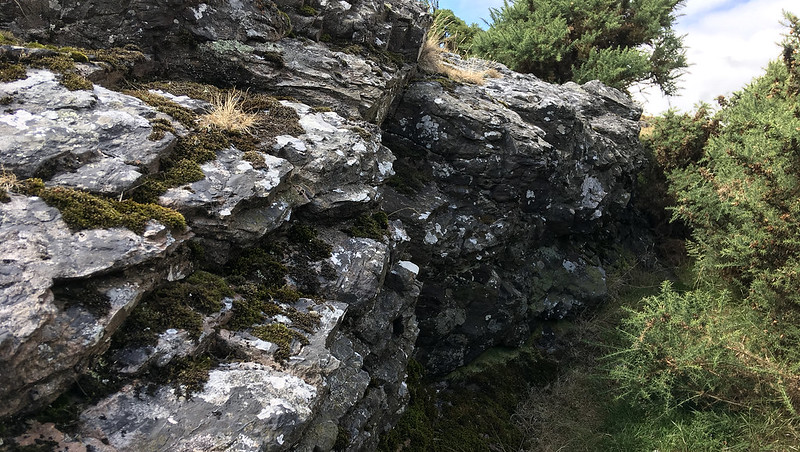 However, Dave Brewer's account of the area advises that "The 1835 mention, 'Owlicombe Burrow', must refer to either the outcrop itself or a natural stone on it, but it is not, in fact, a barrow as such though from some angles has the appearance of one. It is thought to be the 'Ruwa beorh' or rough barrow of the eleventh century Saxon Peadington Landscore, defining the bounds of a huge ecclesiastical estate. In 1853 another of the Duke of Somerset's stones was erected, inscribed with 'Owlaco/mbe/Burrow', with DS /1853 on reverse side. Also present on 1879 list, 1884 map and O.S as 'BS'." 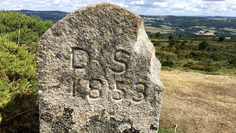 The boundary stone, which is just above the modest but nonetheless elongated rock, seems to have suffered some minor damage on one of its edges. Not shown on OS maps by name nor represented in any way as a rocky outcrop, Owlacombe Burrow is just far enough away from the road to deter most people from visiting and so can be a good place to sit awhile and enjoy the solitude and take in the splendid views, especially to the east looking out to the growing town of Bovey Tracey and nearer to the south where in contrast, there are glimpses of the tower of St Michael's church in the peaceful village of Ilsington. 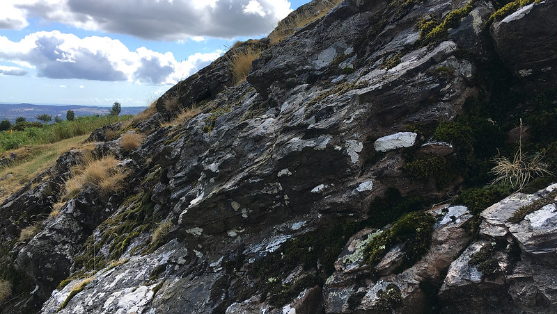
| ||||||||||||||||||||||||||||||