TORS OF DARTMOOR
a database of both lesser- & well-known rocks and outcrops
Pathfields TorThe Path Fields
 First identified in a photograph by William Crossing (WC) in 'The Teign: From Moor to Sea' (1986) in a photograph captioned 'The Path Fields', this is indeed an immense tor sprawling downhill from its upper outcrops in the woods to rocks in the private grounds of Underwood. In the mid section the giant 'loaf-like' rock as depicted in WC's book can be seen and when comparing his photo to the landscape today shows just how much the trees have grown since. 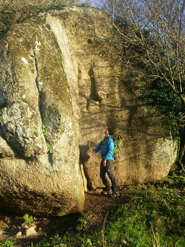 There is a network of public footpaths that criss-cross the fields here that pass just below the main bulk, which in itself is a fine, rounded boulder of some height on a field boundary with further rocks nestled in the trees behind. The boulders are rounded, mossed in places and quite striking at close-quarters as is so common in the village of Lustleigh where many of its rockpiles resemble giant loaves of bread. The tor also spreads downhill, culminating in another stack just beside a tributary of the Wray Brook on the edge of another boundary that overlooks the gate where one of the paths crosses the watercourse. Twisted tree roots grab onto the rocks for support and the boulders in the stream bed are akin to giant marbles, rounded and shaped in time by the force of the water. 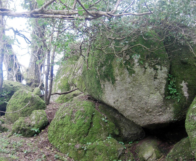 A subsequent mention of the tor can be found in a Dartmoor Magazine article, by Tim Jenkinson in 2015, who was alerted to the rockpile by Steve Jenkins. He describes what is "in effect a ruined tor here, but so much more than just the big rock that appears in the book." Further, the same outcrop shown by WC appears in another photograph that is dated to 1920 in 'Dartmoor' by Ted Gosling. 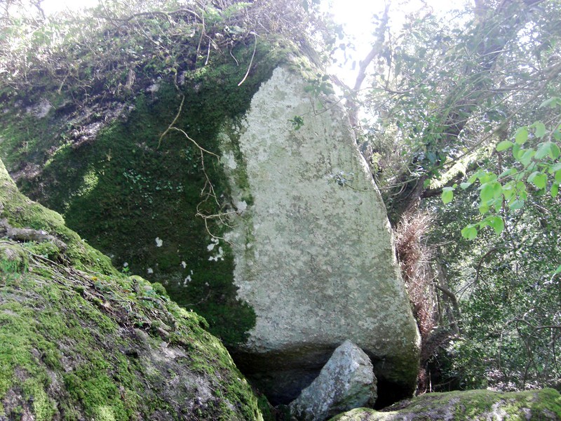
| ||||||||||||||||||||||||||||