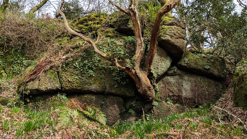
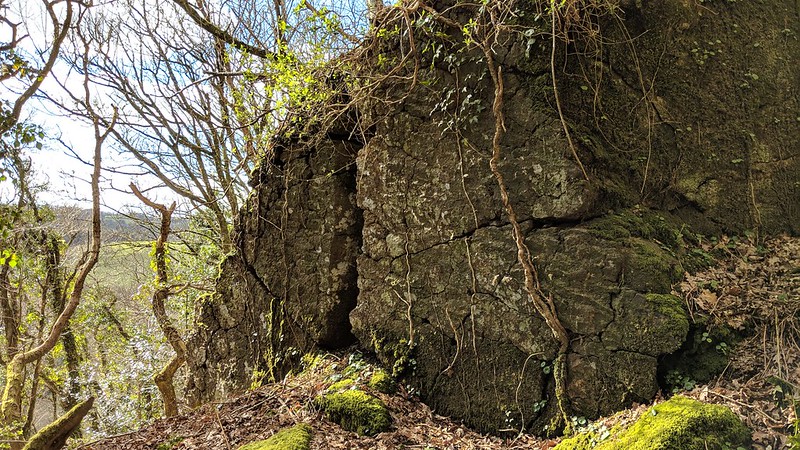
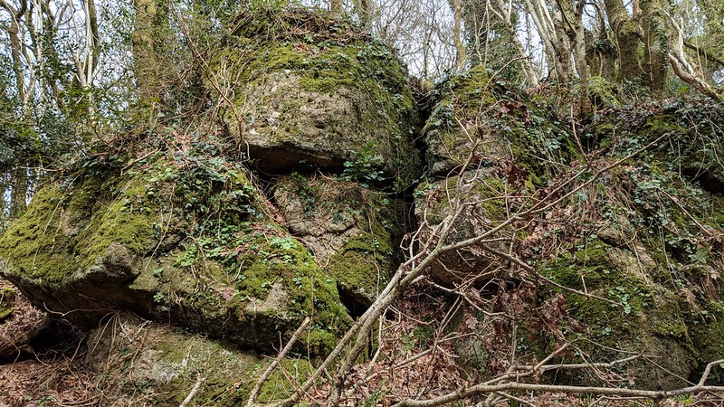
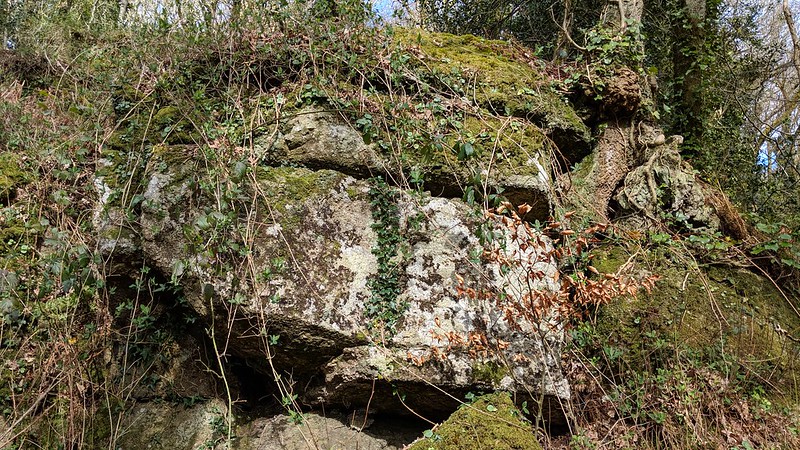
At the far northern end of Wray Cleave, owned by Dartmoor National Park Authority, there is a scattering of outcrop-like boulders just south of Pepperdon Hole and Pepperdon Hall Lane.
This is where the higher 'wood path' shown on OS maps peters out, but climb above this and you will begin to discover mossy outcrops.
The highest part of the tor is a small wall, perhaps the largest and most impressive section. Access to this woodland is difficult as the tracks are indistinct and the hillside is steep so tread with caution.
Pepperdon Hole Rocks
The map above is not a navigation tool and we recommend that the grid reference shown below is used in conjunction with an Ordnance Survey map and that training in its use with a compass is advised.
Grid Ref:
SX 7729 8477
Height:
210m
Parish:
Moretonhampstead
Tor Classification:
Valley Side
Access:
Private (but accessible)
Rock Type:
Granite
Credit:
Max Piper
Reference / Further Reading:
Max Piper: Dartmoor News Issue 173 March/April 2020: Exploring the Tors in Wray Cleave Wood
Please Support Us
We are proud to see the names of lesser-known tors are now being used more commonly on other websites and whilst this is to be encouraged we do request that, should you wish to use the information on this page, you provide a backlink to the website as reference, by copying the relevant address:
Please also consider a small donation to the upkeep of the site; any contribution goes toward the fees to keep the database online and any costs incurred when undertaking research such as subscriptions to online archives.