TORS OF DARTMOOR
a database of both lesser- & well-known rocks and outcrops
Plat Tor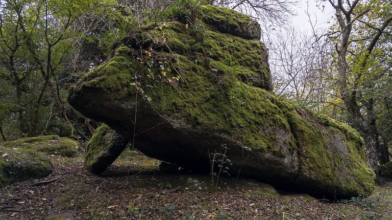 Standing a short way above the old Piphole Linhay ruins is this lone rock that takes on many different expressions, including that of a baboon's head and an inclined plane! Noted by Tim Jenkinson in 2018, the rock lies within what is now an afforested enclosure. 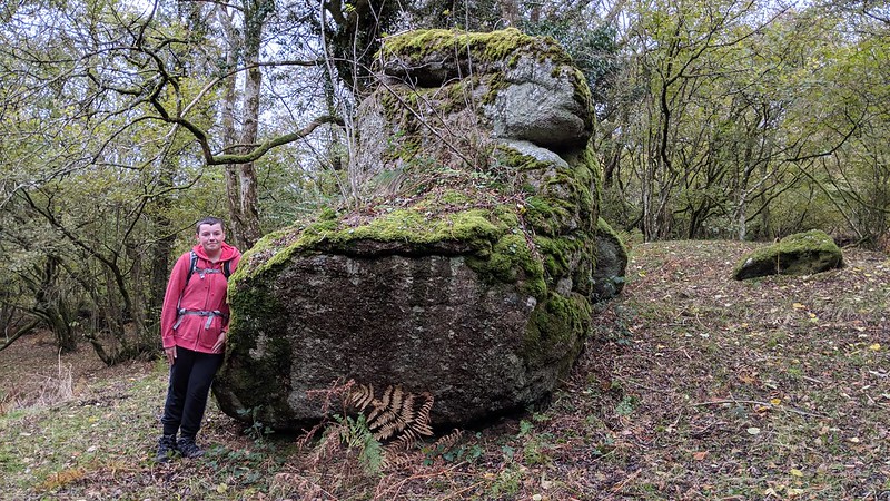 It is situated amid many other boulders and rocks that are strewn through the copse here some 100 metres or so below Great Hound Tor. Both this outcrop and the neighbouring Culliver Stack are strangely contorted rocks that from a certain angle can resemble human or even animal-like forms. This phenomenon is known as pareidolia in psychology and describes the tendency of the human mind to recognise something familiar - like a human face or other identifiable figures - in what are just random textures or patterns, where no face should really exist. When this applies to rock formations, they are termed mimetoliths. 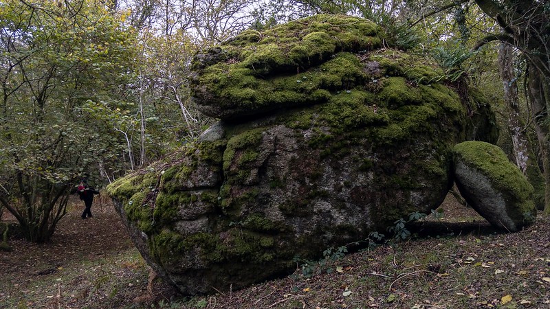 The name of 'Plat' is shown for this plot of land on the Tithe Map of the Parish of Manaton and, in the absence of any other information, seems a most appropriate appellation. A 'plat' is an alternative word, rarely seen nowadays, for 'plot', which suggests that the Tithe Appointments were unable to source a name for the land here. 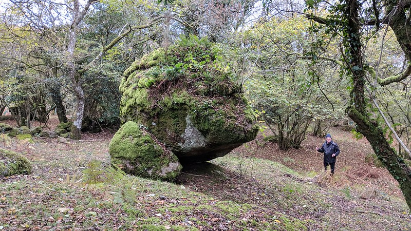 Please note that the woodland to the north of the road is private land and that barriers have been recently erected around the Tor to deter unlawful scrambling on motorbikes, so it cannot be visited without the prior permission from the landowner.
| ||||||||||||||||||||||||||||