TORS OF DARTMOOR
a database of both lesser- & well-known rocks and outcrops
Popple TorSloncombe Hill Tor 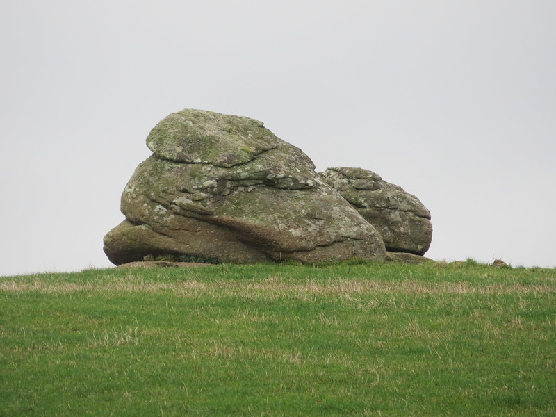 To the west of Moretonhampstead, beyond the small hamlet of Sloncombe, there rises a modest ridge that stretches north-west for just under 2 kilometres with its entire length followed by a narrow metalled lane. The highest point of the ridge is the lesser known Sloncombe Hill, listed in the Database of British Hills at a height of 276m (906 feet), classed as a Tump (a hill in Scotland, England, Wales, the Isle of Man or Channel Islands which is separated from adjacent tops by a height difference of at least 30 metres on all sides) and with a brief summit description of "tor in pasture". 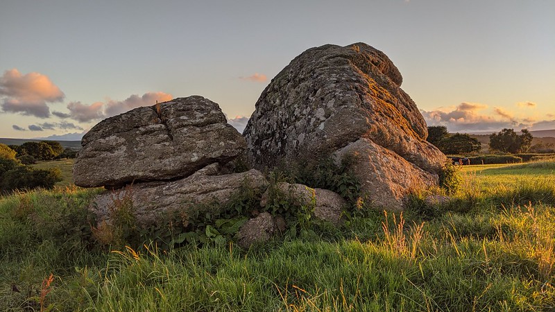 As the lane approaches the crest of the hill from the south, look east into the private fields and you will see a small summit tor some 80 metres away. What we have here is a split outcrop, perhaps the result of weathering, with two sections no more than half a metre apart. Its stature is disappointing, the view from the lane promises much but in reality, the outcrop is little over 6 or 7 feet in height. 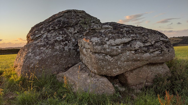 Within the same field, there are two further collections of substantial sized rocks. One looks to be the result of field clearance rather than a natural feature, but another lower pile on the northern edge of the field looks more promising. 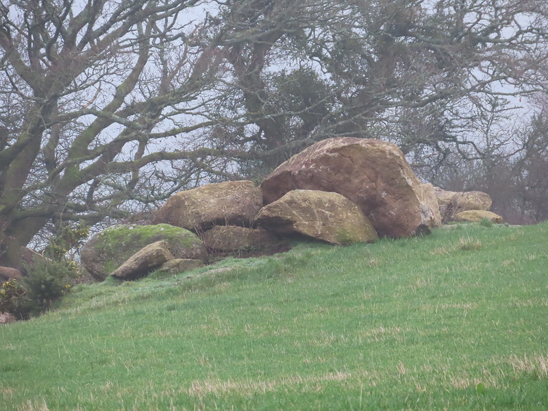 There is an interesting name attached to this plot of land, that of 'Popple Tor' which the landowner brought to the attention of Max Piper in 2022. The name is included on a 1964 map attached to farm deeds although its exact origins remain unknown. Please note that the tor is clearly visible from the roadside, however, should you wish to visit, you must seek permission.
| ||||||||||||||||||||||||||||||