TORS OF DARTMOOR
a database of both lesser- & well-known rocks and outcrops
Prowtytown RocksProutatown, Proudatown 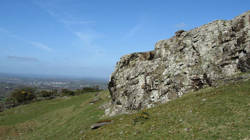 Prowtytown Rocks is a distinctive non-granite outcrop, rather than a group of rocks, that is set well to the south of the large Pork Hill car park and is inextricably linked to the ancient farmstead below. The outcrop here is marked on the west side by multiple steps with a definite man-made appearance; somebody perhaps having cut into the rock to enable access to the summit. This is not surprising as both Lower and Higher Quarry are recorded in the vicinity of the farmstead from which it takes its name. Alternatively, it could be a curious weathering effect but the steps are so smooth and purposively positioned (see fourth photo). 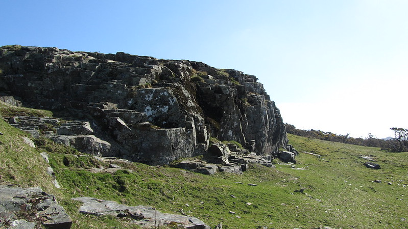 OS maps from the late 19th Century depict Prowtytown of grand sounding name as a single farm and there are other instances of Easterntown, Holetown, Moortown and Caseytown, etc. for other lone settlements in this part of West Devon. It is indeed an impressive block of rock shown as an 'L' shape on aforementioned maps. 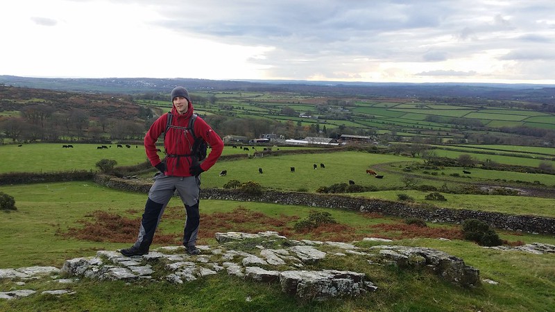 The name for these Rocks seems to come from Eric Hemery in High Dartmoor - Land and People: "Above all rises the border-rock tor known as Prowtytown Rocks (1,000 feet), representing the final, lowly bastion of the Tavy country's east upper valley side..." There is also a Heritage Gateway entry (MDV 76876) that gives the name of Proutatown originating from 1651 when a Thomas Prouta lived at the farm. More recently, in the 1939 Register on the eve of World War 2, the name of Proudatown is recorded with farmer Charles Bellamy in residence.  There are exceptionally good views of the West Devon border-country edging to the aureole of the moor. Tavistock's sprawl can be seen to the west and below to the south the numerous little farmsteads inhabiting this part of the moor are tucked under the slopes. No doubt this was once a vantage spot for the locals but according to Ringwood (2013) it is now "...a low, insignificant and rarely visited tor on the slope below Barn Hill." That said it is still well worth a detour to escape the madding crowd to the north, and thankfully Max Piper provides a far more positive outlook on the area: "This outcrop is quite special because it is not of granite but St Mellion Formation - the only tor on Dartmoor to be composed of this unique substance. The tor resembles a set of crude steps from the underside and cannot be seen from the north until you are standing on it. Fantastic views to the west are afforded, and this is an altogether likeable spot that few people visit. Hemery is once again the person to thank for this name."
| ||||||||||||||||||||||||||||||
