TORS OF DARTMOOR
a database of both lesser- & well-known rocks and outcrops
Pudsham Wood Rocks
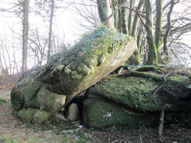 Pudsham Wood is the northern section of the collection of woodlands called Buckland Woods above the east bank of the East Webburn and is private land, however, a permit to visit can be obtained from Fountains Forestry who manage the land. At its highest altitude, on a small west spur to the north of Lower Pudsham, there is a fine broken tor hidden in trees. One conspicuous boulder at grid reference SX 7160 7478 is of particular fascination, possessing a line of xenoliths that give it the look of a crumbled pasty from a certain angle. This exposed rock is seen to be resting on a slant very close to a ruined wall. 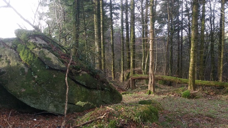 The rocks continue down the hill westward culminating in a collection of both boulders and emergent bedrock with some interesting fissures and slabs protruding from the steepening slope, partially obscured by low branches. Another notable pile is incorporated into a boundary wall where the wall turns south at grid reference SX 7150 7477. 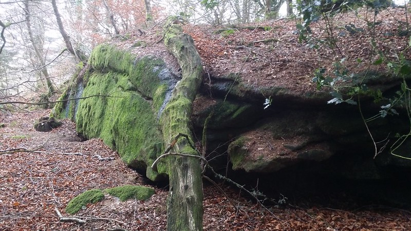 The name of 'Pudsham' is one of Dartmoor's unsolved mysteries as there are a few theories about its origins. Tim Sandles spectulates that "the name Pudsham Down at one time possibly meant the 'Down of the Kite'.'' He continues: "In 1318 it appeared in the Assize Rolls as Puttekesham, now pyttel or puttock are both old names for the bird Milvus milvus" which he explains was more commonly referred to as the Red Kite, with the hypothesis that over many years 'Putteskesham' became 'Pudsham' (Gover, Mawer and Stenton), the name that is favoured on Ordnance Survey Maps today for the Down and nearby farms and wood. 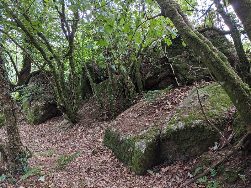 Essentially what we have here is a disintegrated tor whose crown has eroded into this widespread sprawl of granite, with no obvious rockpile still extant, the rocks here are still worthy of mention because of their unique features. On the north edge of the wood, you can catch glimpses of arable fields and, beyond them, the impressive dome of Old House Hill above the vale of Widecombe. A forestry track will take you to the bottom of the rocks; it is then necessary to pick your way up the slopes to the higher section, but it is well worth the short ascent.
| ||||||||||||||||||||||||||||||