TORS OF DARTMOOR
a database of both lesser- & well-known rocks and outcrops
Pupers RockMiddle Pupers, Pupers Hill, Puppers Hill, Puppers Rock
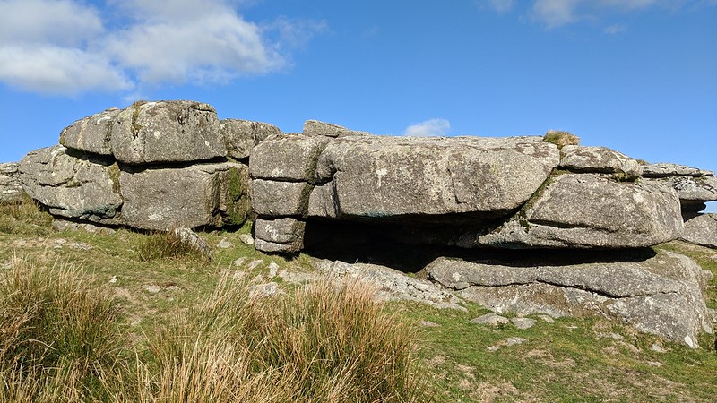 This, the summit of Pupers Hill, is capped with a small cairn or pile of stones and is easily the largest outcrop here. It appears as a small pimple from Snowdon but when approaching from the south-east, on Dean Moor, it is an obvious tor that on closer inspection is quite impressive with the southern side revealing a deep shelter suited for a small person. 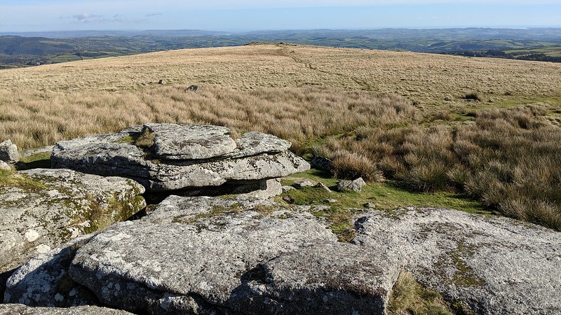 Pupers Rock, also known as Middle Pupers on account of its position between the Outer and Inner piles, boasts some interesting features. One is an incised cross above the inscription 'IHS' under a rock canopy on the south-eastern side, almost certainly a symbol of Christianity, possibly referencing the first three letters of Jesus Christ's name written in Greek, that of iota eta sigma, the 'e' when capitalised becoming 'H'. Another point of interest, and seen elsewhere on Pupers Hill, is feather and tare, and at one stone in particular at SX 67259 67348 there are drill holes where the rock hasn't yet been split. Part of this rock is flush to the ground and there may well be more hidden beneath the turf. 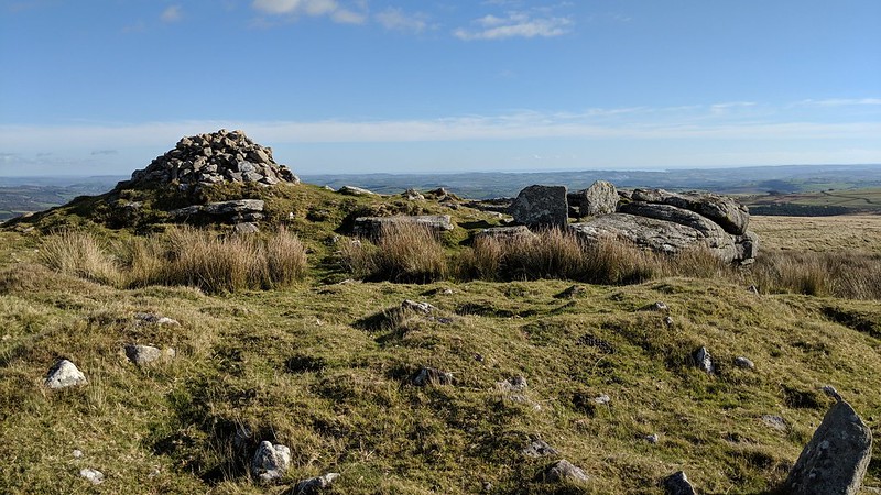 The Rock is sited at the north-west terminus of a reave that descends the hill slope adjacent to the path that heads in the direction of Water Oak Corner. A tale is associated with the rockpiles on Pupers Hill and William Crossing explains that; "Turning S. along the brow of the hill we cross Gibby's Beam, and make our way south-eastward to Pupers, the piles of which we seen on the hill before us. There are three of these, known respectively as Inner Pupers, Pupers Rock, and Outer Pupers. The word is a corruption of Pipers, and the usual story of men being turned into rocks for playing and dancing on a Sunday is related to these masses." 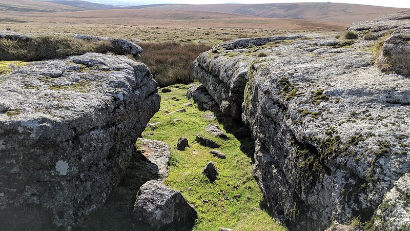
| ||||||||||||||||||||||||||||