TORS OF DARTMOOR
a database of both lesser- & well-known rocks and outcrops
Raven's Tor (Lustleigh)Ravens' Tor, Raven's Tower, Ravens' Tower 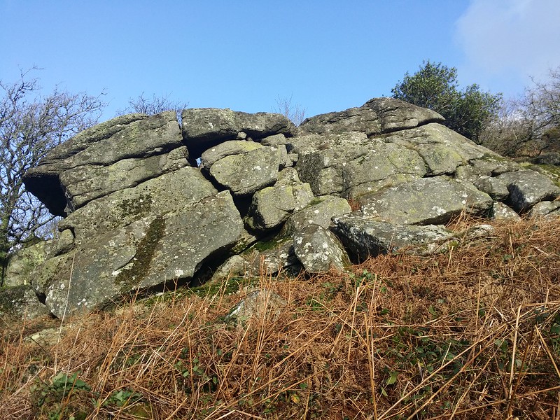 This is a magnificent tor just off the summit path that runs high above Lustleigh Cleave on the east side. Its upper part consists of two huge outcrops one forming a giant overhang which affords breathtaking views across the valley. John Chudleigh recounting a visit to the Cleave in 1892 refers to this as 'Raven's Tower' and in winter months this part of the tor can be seen from Hayne Down and opposing hillsides. 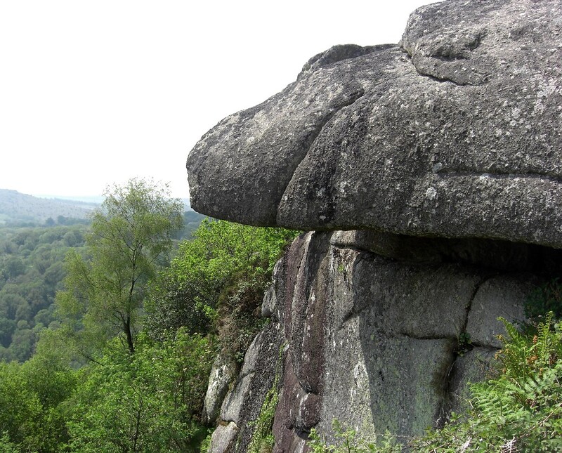 And from the same year John Lloyd Warden Page (p225) gives this account: "The Raven's Tower an ivy mantled crag rears its head from the ridge, bearing no inapt resemblance to the ruins of some venerable fortress." 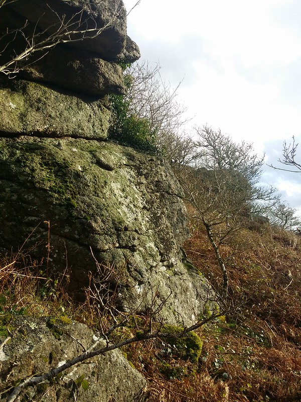 The tor spills into the woodland below where there are high granite walls used by boulderers. The ground in this area is fraught with hazards, especially further down the slope where mossy boulders make for tricky progress, and also the gradient which can be vertical in places with abrupt sheer drops. Raven's Tor is bracken-infested in summer which is best avoided so we advise a visit in winter when the outcrops are less vegetated. 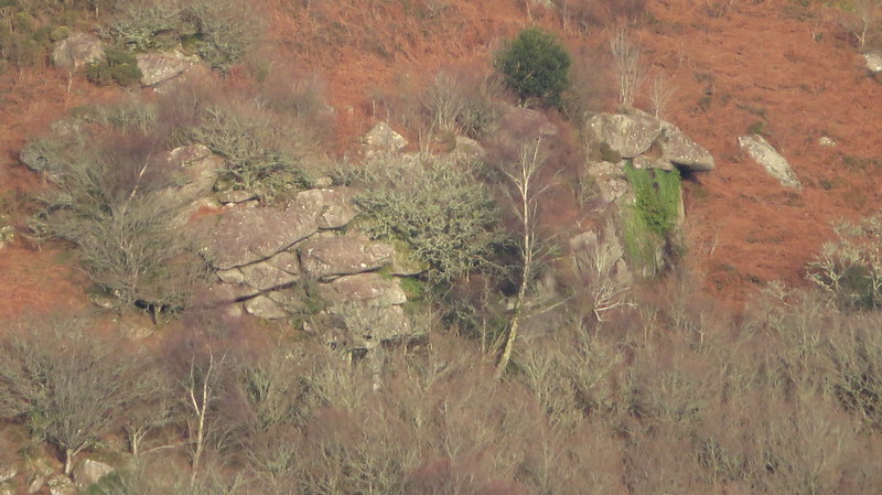 Raven's Tor is one of a number of impressive rockpiles lining Lustleigh Cleave, and its surroundings are defined by the formation of this valley which sits on the Sticklepath Faultline, classed as a 'wrench' or 'tear' fault that is believed to have been created as a result of tectonic forces in the Atlantic Ocean creating cracks within the Earth's crust. It is thought to be responsible for the earth tremors that were felt throughout the region in November 1955.
| ||||||||||||||||||||||||||||||