TORS OF DARTMOOR
a database of both lesser- & well-known rocks and outcrops
RippatorRival Tor, Ripper Tor, Rifle Tor 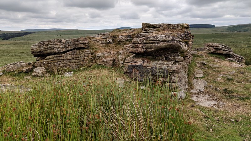 Rippator or Rival Tor, as it is marked on modern OS Maps, is a small, isolated outcrop of granite that resides amid a barren area of the North Moor. The small hill that the tor sits atop is bounded on its western, southern and eastern flanks by boggy ground where watercourses begin their journey by snaking their way through the low, marshy ground of the valley floors. The tor is given little credence by many authors but Eric Hemery does describe the likely origins of the tor's name, using the spelling of 'Ripper Tor'; "OS also give the alternative name 'Rival Tor', as does Crossing; it is known still among the moormen once to have had this name and is so marked on Besley's Map and Greenwood's Map. The corruption probably occurred as 'Rival' - 'Riffel' - 'Rippel' - 'Ripper'." 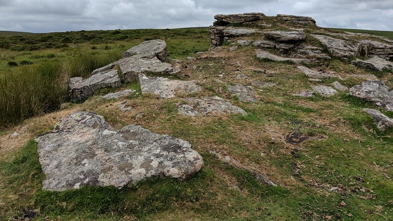 Repetitive horizontal fissures are seen throughout the main outcrop of Rippator, along with curious veins striking perpendicularly that show the intrusion of both quartz and tourmaline. Views are concentrated southwards towards Fernworthy Forest and Sittaford Tor where much of the North Teign valley is exposed, a view that fails to disappoint the beholder who finds themselves at this spot on a clear day. 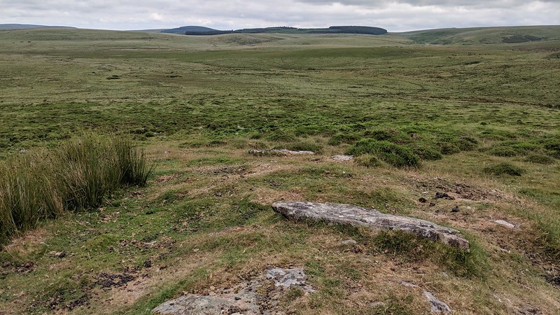 It is a little off the beaten track, but there is a minor path in the col below Kennon Hill that heads south from the well-used track that runs between Scorhill and the White Moor Stone Circle. Alternatively during a dry spell it may be possible to approach from the south by the Walla Brook, although this does require the crossing of three fords that become impassable after heavy rainfall. 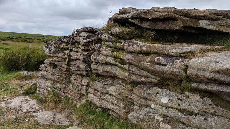
| ||||||||||||||||||||||||||||||