TORS OF DARTMOOR
a database of both lesser- & well-known rocks and outcrops
Rook Tor
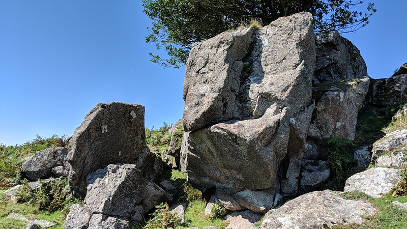 Rook Tor has never received the recognition it deserves, most likely because no one has ever been able to determine its exact location. Ordnance Survey Maps mark the name across the southern slopes of Penn Moor, just below the 300m height. Visit this position you will find scattered granite clitter where, on old maps, a trig point was supposedly situated. William Crossing is first to dismiss it in his Guide: "This part is usually spoken of as Rook Tor, but nothing more than some scattered stones are to be seen here." Later, Eric Hemery in 'High Dartmoor', published in 1983 says: "This utterly ruined pile is now all clitter and no tor. Even the core has disintegrated to such an extent that it is no longer possible to determine the precise position of the former pile." Subsequent authors have followed suit. 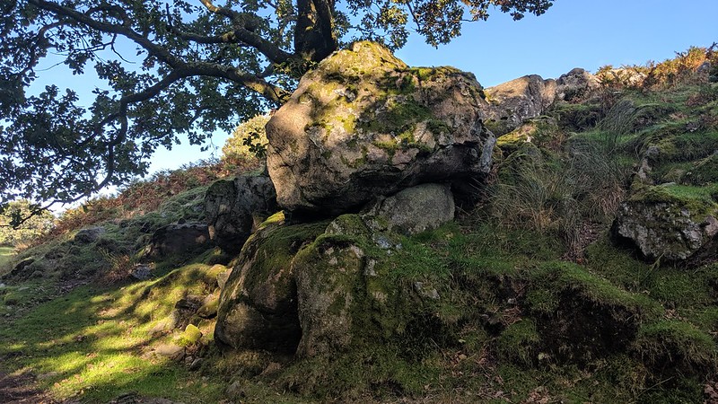 The mistake many have made when trying to ascertain the location of Rook Tor is to search for a significant outcrop on the slopes rather than consider the scene as a whole. Examine the clitter in detail and you will find evidence that the quarrymen have plundered the tor for its granite. There are countless fine examples of stone splitting. It is because of this we have given Rook Tor a 6 figure grid reference of SX 602 616 to encapsulate the large area it spans. 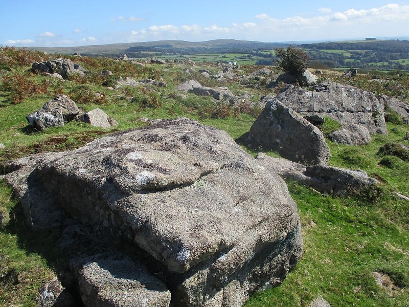 That said, for those tor baggers seeking something more 'tor-like', there are still remnants that will appease: huge boulders and ruined outcrops sit among the clitter, the best example being a very fine small tor first noted by Paul Rendell at SX 60275 61373. It features a huge cracked outcrop, part of which has been cut away, housing a thriving tree in a sheltered spot. Also, to the west on the same elevation, there is a small quarry that has escaped the cartographers eye, slowly being invaded by rhododendron bushes and further evidence of the extensive works that took place here. 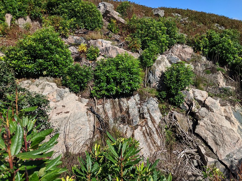
| ||||||||||||||||||||||||||||||