TORS OF DARTMOOR
a database of both lesser- & well-known rocks and outcrops
Rouge Tor
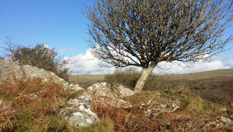 This is certainly an enigma, a definite mystery tor. The earliest literary reference so far located is a brief mention by John Lloyd Warden Page (JLWP) in 1892 (p133). Describing what appears to be a route from Vixen Tor after examining the rock basins on its summit the author writes "Following the line of the ridge towards the Moreton Road we shall after passing the rocks of Sampford and Rouge Tors arrive at Feather Tor the last of the line before reaching the highway". Rouge Tor is still marked on a detailed map of 1896 that is included in the Ward Lock and Co Ltd booklet of that year entitled 'Pictorial and Descriptive Guide to Dartmoor: Its Tors, Antiquities and Other Interesting Features' this replicating Mudge's much older version from 1809 when the name first appears. It seems that at one time the tor formed a prominent feature in the area although JLWP's account is not in line with present day impressions. 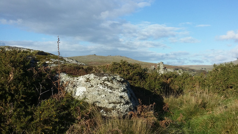 Ward Lock's map places Rouge Tor somewhere to the north of what is shown as Sampford Tor and to the west of Vixen Tor. A greater puzzle is that within just five years of the Ward Lock representation, the tor's name had disappeared from Dartmoor literature whilst at the same time the previously unrecorded Heckwood Tor had become known enough to make its way into Crossing's (1901) 'One Hundred Years on Dartmoor'. So, could Rouge have once been an older name for Heckwood? If so, why is there no reference to this change by either Crossing or Hemery in any of their publications? 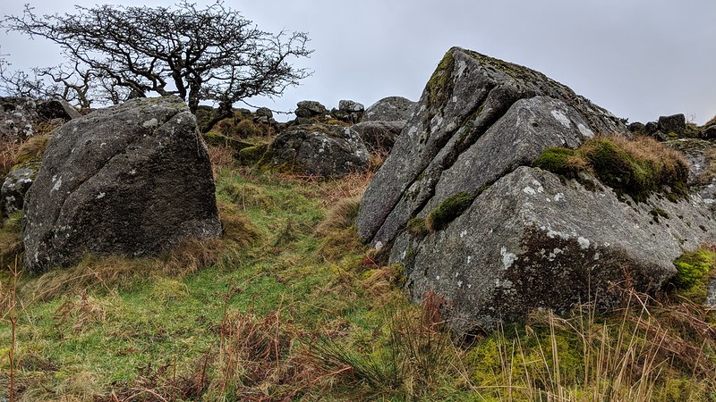 Amid this confusion and contradiction an exploration of the area by Tim Jenkinson in the mid 1990s revealed a small overgrown outcrop that is set in private enclosures on the summit of a rounded hill to the south west of Vixen Tor that gives rise to an impressive rock field of huge mossed boulders that extend downhill to the east towards a thickening wood of oak above the River Walkham. The outcrop and scattered rocks can be seen from the gate in the wall below Heckwood Tor and from here there is a good view of Vixen Tor to the north. In the absence of any descriptions to the contrary could it be possible that this is the long-lost shadowy pile of Rouge Tor or did the early map makers make mistakes in the representation of this area and the name was included in error? Whatever, the explanation there is still a small ruined rock pile here that is worthy of some recognition. 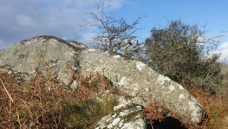
| ||||||||||||||||||||||||||||||