TORS OF DARTMOOR
a database of both lesser- & well-known rocks and outcrops
Rudge RockRudge Hill
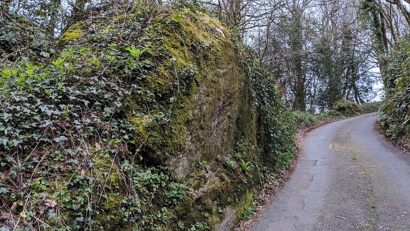 Straddling the steep, narrow road called Rudge Hill in Lustleigh can be found this large rock beside the road; its public side showing signs of wear and tear as vehicles scrape past it on their travels. 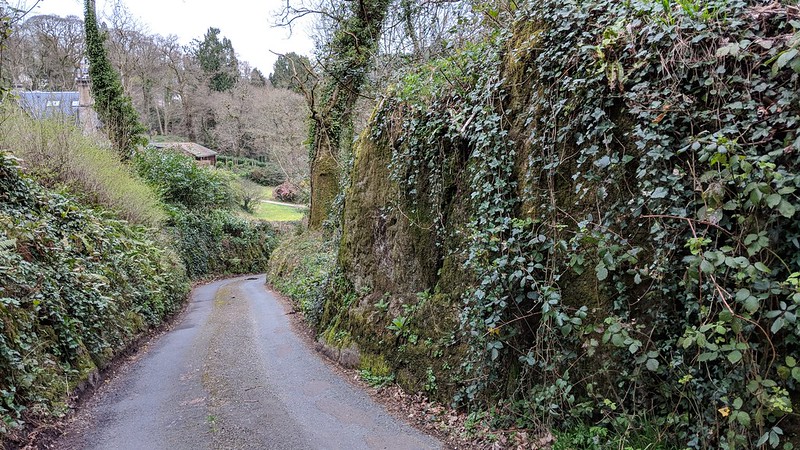 From this angle, it appears to be barely more than a badly weathered outcrop retaining little of its natural charm. It is not helped that vegetation can obscure a visitor's view of it, especially in summer. The more attractive section of Rudge Rock lies below the road in woodland and consists of a couple of sizeable boulders with a small clitter beneath, all adorned in moss. Please note that this is on private land and that express permission from the landowner is essential should you wish to visit this part of the rock. 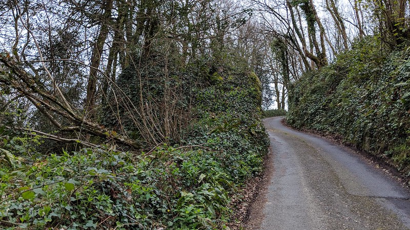 It is not an easy area to photograph, making doing the outcrop any justice quite difficult. This is not aided by the fact that meeting vehicles on the hill here can be problematic, forcing walkers into verges where room permits. When two vehicles meet this is further exasperated. Fortunately, there is a bench above, which makes a visit to the area more welcoming with some respite after ascending from the village centre of Lustleigh. When approaching from this direction, also note, to the right, the more distinctive rock within the private grounds of Rockmead. 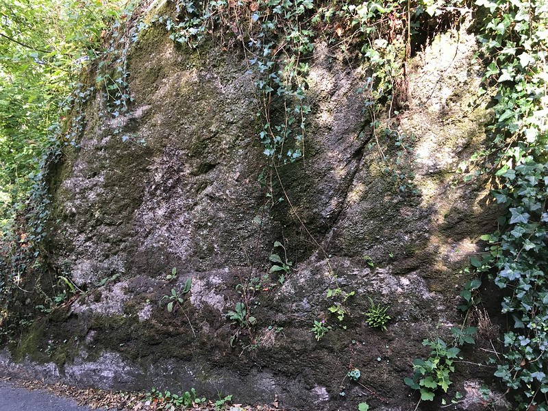 Rudge itself is a farm at the top of Rudge Hill, with grand views eastward, particularly of Castor Copse. George Wills Junior is recorded as both the landowner and occupier of the Rudge Estate in the Tithe Apportionments of the 1840s.
| ||||||||||||||||||||||||||||