TORS OF DARTMOOR
a database of both lesser- & well-known rocks and outcrops
Saddle TorLether Torre, Saddletor 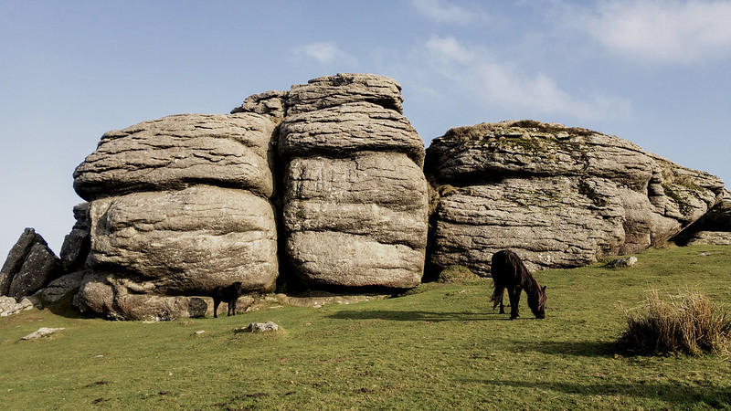 A large and well frequented area situated by the road, Saddle Tor is a stupendous tor consisting of two main masses of granite that are separated by short grass. The name of the tor fits with its appearance as from some angles it resembles a 'saddle', seen most noticeably from Hemsworthy (White) Gate in the west. It is popular with rock climbers and boulderers, especially on the western, slightly higher pile where there are huge towers of rock and a surprising sheer, colossal north face that is protected from strong southerly winds. 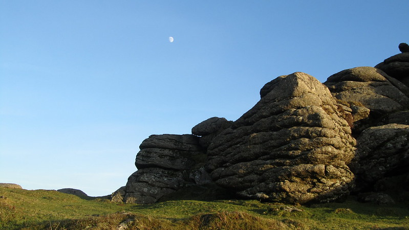 William Crossing explains that; "Risdon speaks of this pile as "a noted place called Saddletor," from the hills near which he says the Loman, or as we now call it, the Lemon, "fetcheth her fountain"." In High Dartmoor, Eric Hemery waxes lyrical; "Saddle Tor (approx. 1,470 feet) is seen from the valley to dominate the head of Bagtor Mire. It has two major piles, the western presenting its remarkable south face to the high-road: its vertical partings and horizontal jointings are on a massive scale, despite which cohesion is retained and creates an impression of gargantuan formation." He goes on; "From its summit, the bosses of Hey Tor appear almost menacing, and westward the tops of E. Webburn country rise above the cleft of the valley, while northward are the fine tors on the crests and sides of the Becka Brook valley." 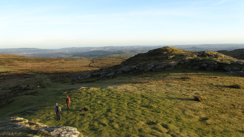 On the eastern pile there appears to be a ring cairn at the top with a low, visible area of boulders embedded into the turf beside the bedrock. A selection of three tethering rings have also been found on this part of tor on two separate visits by Tim Jenkinson (2019) and Amanda Ellis with Fiona Rothwell (2020). Also known as ring rocks, they are located all within close proximity of one another at SX 75154 76356, SX 75152 76336 and SX 75161 76337. 
| ||||||||||||||||||||||||||||||