TORS OF DARTMOOR
a database of both lesser- & well-known rocks and outcrops
Sampford TorLittle Pu Tor, Little Pew Tor 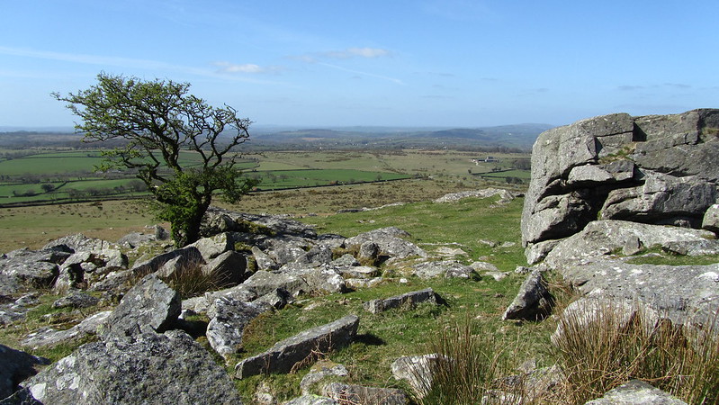 Although Pew Tor is well-known to many in this area of West Dartmoor, its close neighbour to the south is not. This might be in part because the name of Sampford Tor has never made its way onto OS Maps, despite William Crossing using this name in his Guide. In his series on Lesser Known Tors, Tim Jenkinson describes it; "With the exception of the flattened Little Hen Tor in Plym Country, Sampford Tor is probably the most ruined rock pile on Dartmoor. The pitiful remnant of its one surviving outcrop, watches over a scene of utter devastation to the south, where the tor's substance has been torn, shattered and strewn for a great distance across the lower slopes by quarrying." 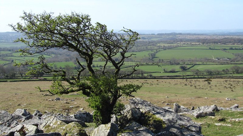 Unlike Pew Tor whose boundary was defined by a series of incised marks to prevent stonecutters from stripping the tor of its very substance, Sampford Tor never received such protection and as a result was totally obliterated into smithereens. What was once a bustling area for the granite industry now, however, is a peaceful moorland scene where fine views are to be had of the Tamar Estuary and across to East Cornwall. That said there remains a poignant reminder of the activities that took place here because feather and tare marks are to be found all over the hillside, and it is actually quite remarkable how the summit pile has retained a somewhat natural appearance when the rest of the tor has been plundered. 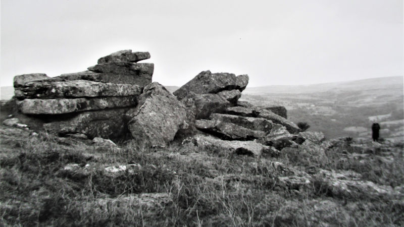 The most regarded feature on the hillside here is probably the quarry that is tucked away on the west side where rhododendron clings onto its smooth though vertical cliff faces. It is a lovely spot to stop and take in the surroundings and imagine what the scene used to be like when it was still active, and how much more substantial the former tor was. Given Sampford Tor's proximity to its far grander neighbour, it is understandable why Eric Hemery assigns the name of 'Little Pu Tor' to the rocks, although this name is rarely used nowadays. 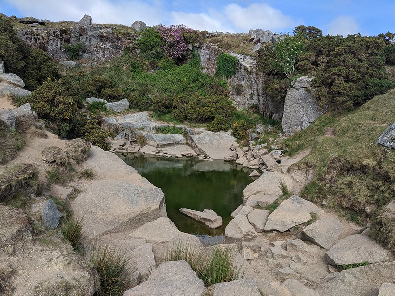
| ||||||||||||||||||||||||||||||