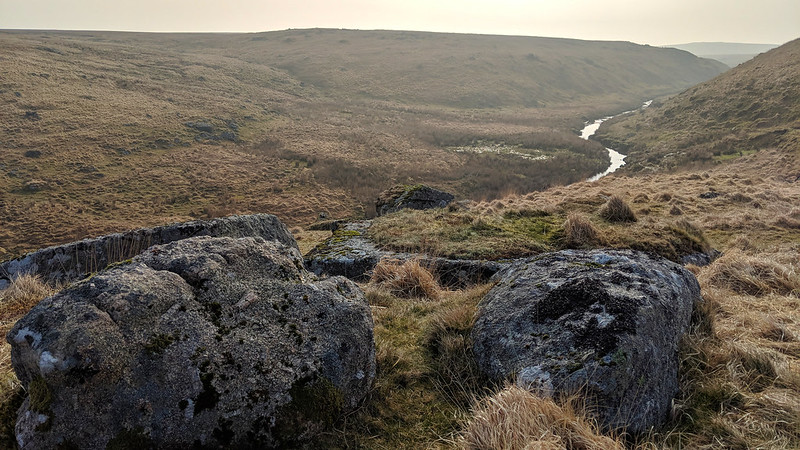
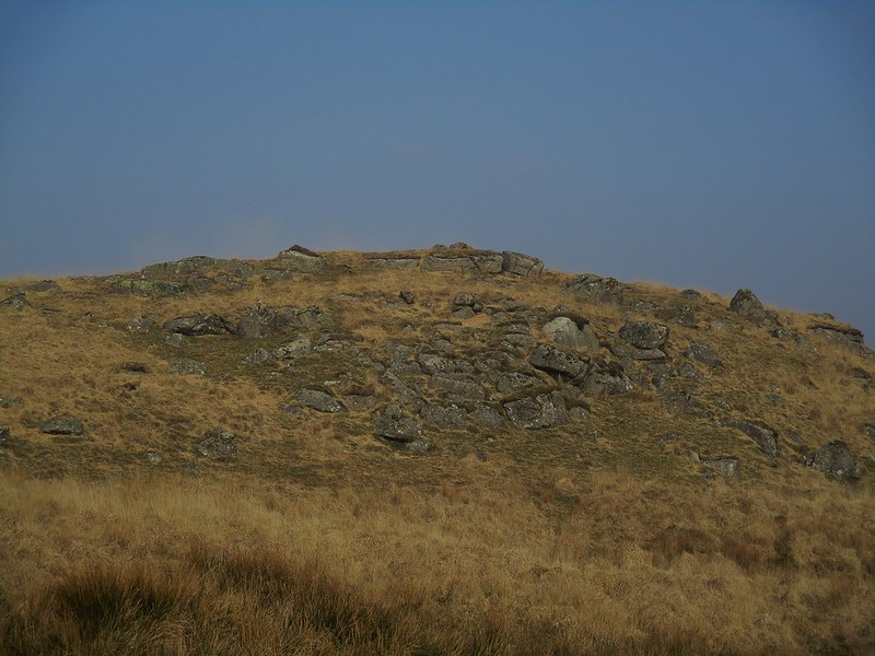
After walking beside the right bank of the East Dart River, upstream, from Sandy Hole Rocks (south), you will soon notice a mound of grass and rock in front of you. These are the northern rocks and are situated above the entrance to Sandy Hole Pass.
From the top of the rocks, which in themselves are quite lowly and disappointing in comparison to their southerly neighbour, an impressive view down the Hole is captured, a special scene where the rippling waters glisten in early morning sunlight and the evidence of channeling the river by tinners can be seen from this point.
Curiously Crossing and Hemery overlook the rocks in Sandy Hole Pass and it was Terry Bound who writing later offered the name of 'Sandy Hole Rocks' to both the north and south sections respectively.
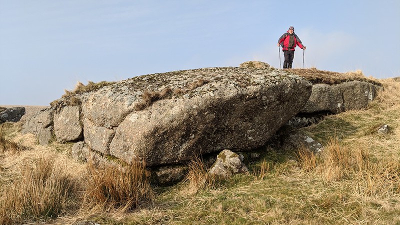
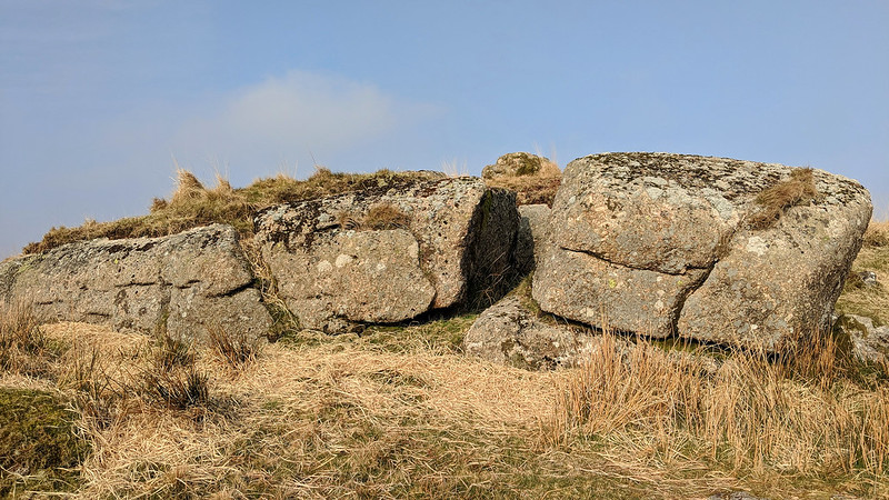
Sandy Hole Rocks (north)
The map above is not a navigation tool and we recommend that the grid reference shown below is used in conjunction with an Ordnance Survey map and that training in its use with a compass is advised.
Grid Ref:
SX 6200 8160
Height:
500m
Parish:
Dartmoor Forest
Tor Classification:
Valley Side
Access:
Public
Rock Type:
Granite
Credit:
Terry Bound Alan Watson Dr. Peter Sanders
Reference / Further Reading:
Terry Bound: LDWA Tor Bagging List
Please Support Us
We are proud to see the names of lesser-known tors are now being used more commonly on other websites and whilst this is to be encouraged we do request that, should you wish to use the information on this page, you provide a backlink to the website as reference, by copying the relevant address:
Please also consider a small donation to the upkeep of the site; any contribution goes toward the fees to keep the database online and any costs incurred when undertaking research such as subscriptions to online archives.