TORS OF DARTMOOR
a database of both lesser- & well-known rocks and outcrops
Scorhill TorScorhill Rocks 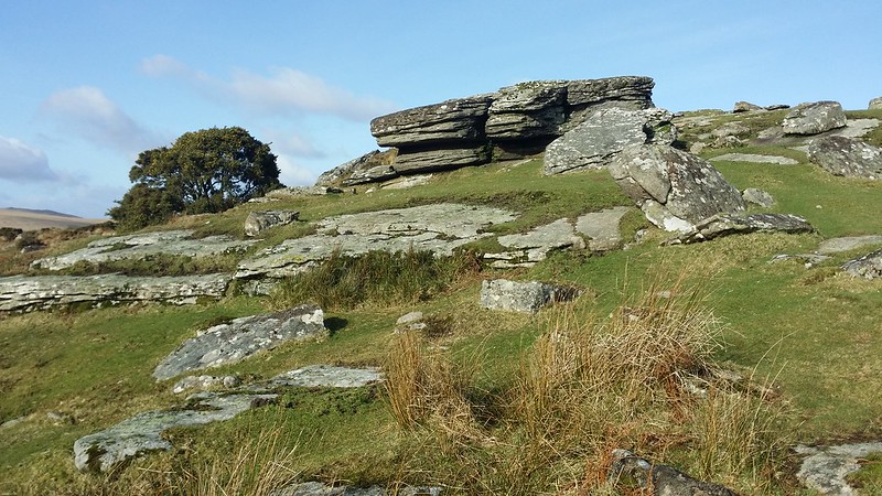 The name of 'Scorhill' is synonymous with the impressive stone circle but there is also a splendid tor going by the same name. It can be found on the south slope of the hill overlooking the rapidly deepening gorge of the North Teign River. The tor is rarely visited in comparison to the antiquities and stone bridges nearby which makes it a wonderful spot for some isolation. The star of the show is the view across the valley to Kes Tor, a giant lump of rock that commands the opposing hilltop. 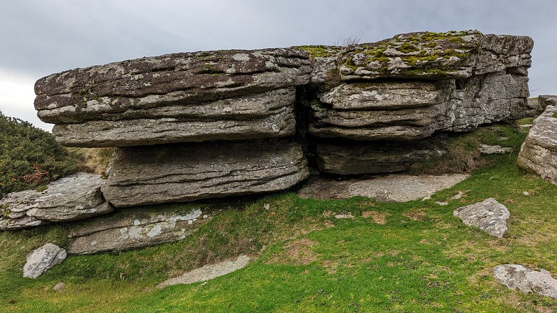 The main outcrop of the tor is very modest, rising far grander from the west than the east. It contains within its midst much slab granite and striking jointings and fissures. Clitter is strewn above and below the tor and the Gidleigh Leat wraps below the pile as it heads towards local farmsteads supplying their drinking water. The leat take-off is on the Gallaven Brook below Rippator or Rival Tor and it pursues a meandering course through treacherous boggy ground before reaching this point. 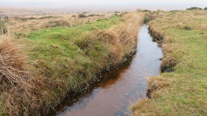 Scorhill Circle, which is easily the most famous landmark in the area, is also known to some as Gidleigh Circle. Worth (1953) writes: "Rowe, in the Perambulation, says that but twenty stones were standing, several have fallen. Croker, writing in 1851 three years later, says that twenty-seven stones formed the circle, of which several were prostate. Ormerod states that in 1858, twenty-nine stones were erect, and two prostate." It is one of Dartmoor's most memorable stone circles and has an extensive view of a massive amphitheatre, where the North Teign and Walla Brook come down the hill either side of Watern Tor to converge at nearby Teign-e-ver. 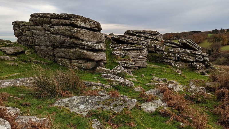 Eric Hemery (1983) describes the scene at Scorhill Tor as romantic and the visitor who finds themselves here will realise that the surroundings are so beautiful as to render this a gem in this corner of Dartmoor.
| ||||||||||||||||||||||||||||||