TORS OF DARTMOOR
a database of both lesser- & well-known rocks and outcrops
Set TorSetters Tor, Setters Rocks 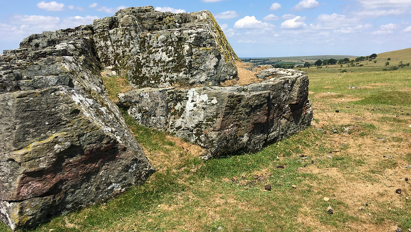 Situated well down to the south west of White Tor and about 400 yards from the upright stone known as Stephen's Grave (see the last photo) are the small, scattered remains of Set Tor. This is a collection of flat non-granite outcrops that can be found just off the main track as William Crossing explains on the approach from the Grave: "As we proceed, we shall notice two rocks on the common L.; these are known at Setters, and are composed of trap of a brownish colour. It is in layers, and there are many loose pieces lying on and around the masses." Eric Hemery makes just this passing reference, "South of the Whit Tors the Peter Tavy track commences a long descent - marked only by the small pile known as 'Set Tor' - of 950 feet." 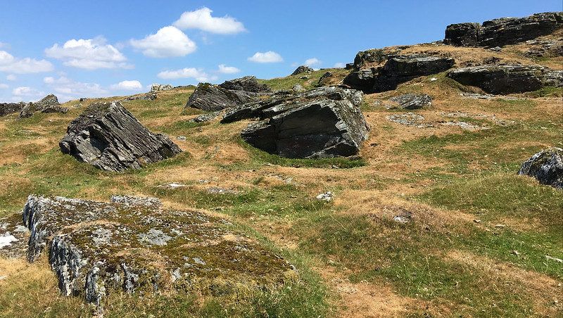 Composed of characteristic hornblende that is a feature of other rocks and tors in the area of the moorland border referred to as the 'Dartmoor Aureole', a term that appears in the book Geology of Devon from 1982 edited by E. M. Durrance, D. J. C. Laming and relates to the rocks that form a ring outside the "granite pluton" of the moor, this somewhat insignificant pile is perhaps better viewed from afar to the west where it has some prominence. The largest rock rests at the west end of the tor and is much weathered and cracked, it has been moulded by the elements into what appear to be a series of 'steps'. Other dark and low outcrops are strewn to the south and east one of which forms a short flat rock face. However, despite its lowliness the views from Set Tor are especially fine where southward the farm of Higher Godsworthy is seen in the valley under the scree covered northern slopes of Cox Tor and away to the west where the conspicuous pile of Boulters Tor begins the run of low outcrops across the crest of Smearn Ridge. 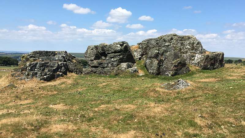 Further information on the legend of Stephen's Grave is provided by the Dartmoor National Park Authority on their website: "Stephen's Grave is marked by a stone and lies at the limits of the Peter Tavy Parish. George Stephens was a youth of Peter Tavy who took his own life because of the unfaithfulness of the girl to whom he was betrothed. He was buried in the usual barbarous manner for a suicide. But the legend has it that, at the moment he was being laid to rest, some linen that was hanging out to bleach at Higher Godsworthy was caught up in the air in a freak gust of wind and was never seen again. 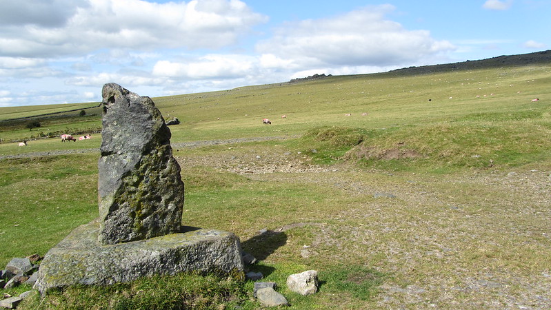
| ||||||||||||||||||||||||||||||