TORS OF DARTMOOR
a database of both lesser- & well-known rocks and outcrops
Shapley TorShapeley Tor 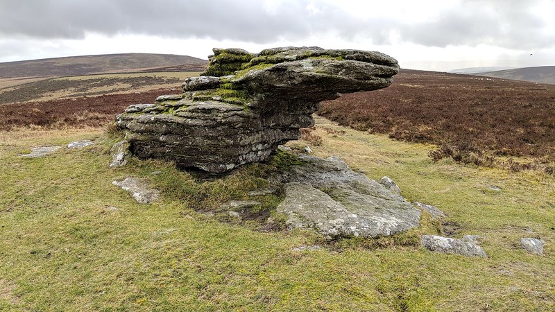 There is not much left of Shapley Tor, for what was once clearly a much bigger pile is now left within the remains of a scattered clitter and small weathered outcrops set just off the summit of Shapley Common. That said and covering a large area the odd patches of low outcrop do have lovely views northward. 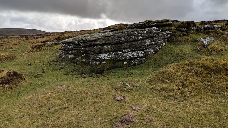 Previous commentators such William Crossing (1912) seemingly unimpressed have had little to say about the site preferring to focus on the nearby antiquities in the form of hut circles on the Common. Eric Hemery (1983) says of what there is to see: "...Shapley Tor (1,599 feet), is so scattered on its gentle slope that its only notable features exist at the lowest (rather than highest) elevation." He continues: "On the low, north-west shoulder of the tor is a large tilted boulder and, nearby, the major pile of the tor, consisting of large block - and slab-granite." 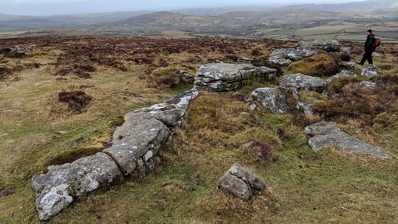 Writing in 1986 Brian Carter is dismissive where he comments on a walk in the area: "Shapley Tor wasn't as impressive as many unnamed granite outcrops I've encountered on moorland expeditions, so we pushed on to Hookney Tor." which is without doubt far more worthy of tor status. In 1996 Sanders and Watson had this to say: "There are a few scattered outcrops overlooking Shapley Common. None takes the form of a Tor but the largest is on the west side. As would be expected this Tor gives good views to the north." Ringwood's (2013) assessment is no better describing the tor's substance as having "several minor granite outcrops with a little clitter." This chronology of less than complimentary comments illustrates a remarkable consistency in observation of this lowly tor for what is now well over a century. 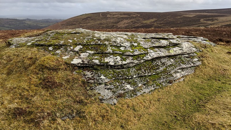 Despite its poor appearance and the general bad press that it has received in the literature, the name of Shapley Tor still appears on modern day Ordnance Survey (OS) Maps as a significant point. To see for yourself, the rocks here are best reached by walking southward from the viewpoint car park above Green Combe just off the B3212 at SX 698835. This route will also give the visitor an opportunity to inspect the well preserved hut circles on the approach.
| ||||||||||||||||||||||||||||||