TORS OF DARTMOOR

a database of both lesser- & well-known rocks and outcrops

Home Search Map The East Access About Team Social Blog

Sharp Tor (Castle Drogo)

Sharpy Tor

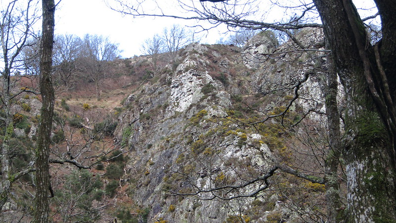
Sharp Tor is formed of two impressive crags of rock seemingly of shale rather than granite high on the steep hillside to the north of the River Teign overlooking the spectacular gorge below.

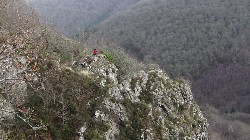
The tor is easily reached via the Hunter's Path which takes you to within a few metres of the summit. When consulting old Tithe Maps for the area, the tor is appropriately called 'Sharpy Tor'.
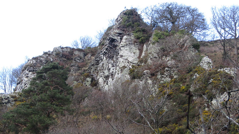
icon
icon
Sharp Tor (Castle Drogo)
The map above is not a navigation tool and we recommend that the grid reference shown below is used in conjunction with an Ordnance Survey map and that training in its use with a compass is advised.
Grid Ref:
SX 7286 8986
Height:
220m
Parish:
Drewsteignton
Tor Classification:
Valley Side
Access:
Public
Rock Type:
Metamorphic Shale
Credit:
Ordnance Survey
Reference / Further Reading:
Ordnance Survey Maps
Devon County Council: Tithe Map of the Parish of Drewsteignton (1)

Please Support Us

We are proud to see the names of lesser-known tors are now being used more commonly on other websites and whilst this is to be encouraged we do request that, should you wish to use the information on this page, you provide a backlink to the website as reference, by copying the relevant address:

https://www.torsofdartmoor.co.uk/tor-page.php?tor=sharp-tor-castle-drogo

Please also consider a small donation to the upkeep of the site; any contribution goes toward the fees to keep the database online and any costs incurred when undertaking research such as subscriptions to online archives.