TORS OF DARTMOOR
a database of both lesser- & well-known rocks and outcrops
Sharp Tor (Harford Moor)
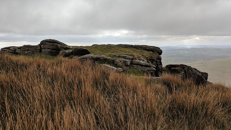 Hiding its best side from the east, where most visitors approach from, this stupendous viewpoint can be attained from what appears at first to be a lowly outcrop on the spur of the hill, just south-south-west of the cairn nearer the Redlake Tramway. This is just a teaser of what's to come as when climbing atop the tor you realise it has something going for it: a magnificent almost vertical drop down to the wall and then Piles Copse, one of Dartmoor's three ancient oak woodlands (the other two are Wistman's Wood and Black-a-Tor Copse). 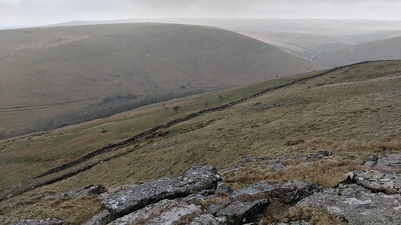 The views make a visit to this tor memorable; the view up the Erme with its meandering course from its source is truly awe-inspiring, and Hillson's House atop Stall Moor is clearly visible from across the valley. Plymouth and the South Hams coast are seen in good visibility, going as far west as Torpoint in Cornwall. But it's not just about the views. When rounding the main outcrop an impressive rock face emerges from the hillside which abruptly steepens from here, giving Sharp Tor its name, the most common on the moor. It is easier to appreciate the tor's stature from here as it fails to disappoint as a large ridge of rock protrudes out into the valley. It would also act as a windbreak from an easterly wind. Below this just before hitting the wall, you will notice a pipeline contouring the hill. This was built to transport china clay off Dartmoor from Redlake. It was abandoned for nature to reclaim. 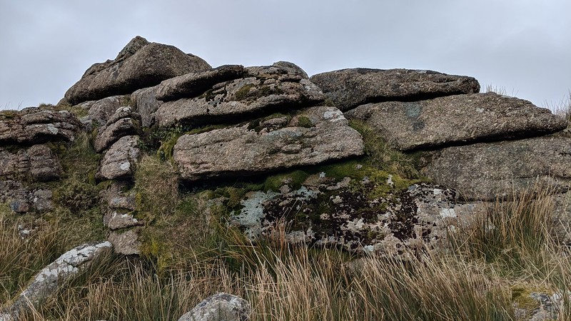 Another outcrop of great interest can be found at SX 6500 6165, overlooked as it is due to the fact that it doesn't possess the same advantage that the main outcrop has. It is also quite sizeable albeit ruined with striking horizontal joints streaked across the granite. An excellent place to visit, the tor is best accessed from the aforementioned tramway with minimal gradient. 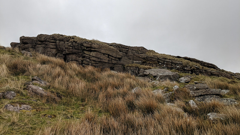
| ||||||||||||||||||||||||||||||