TORS OF DARTMOOR
a database of both lesser- & well-known rocks and outcrops
Sharp Tor (Peter Tavy)Peter Tavy Sharp, Peter Tavy Sharp Tor, Sharpetor
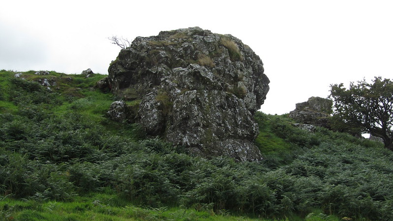 Sharp Tor is situated roughly halfway between Great Combe Tor and the lower north-western slopes of Cocks Tor at SX 525 771. Said by Hemery (1983) to have acquired its name from the Tithes Apportionments of 1829 and 1841, Sharp Tor has sadly lost its identity in recent times and is only known as such by the locals despite it being worthy of much greater recognition. Indeed, when we look at the Tithe Map, we see plot 287 that is named 'Sharpetor Field', which indicates that the tor has been known as such for a long time, the name of 'Sharp' a descriptive word used by the moormen for tors that 'stand sharply from their surroundings'. 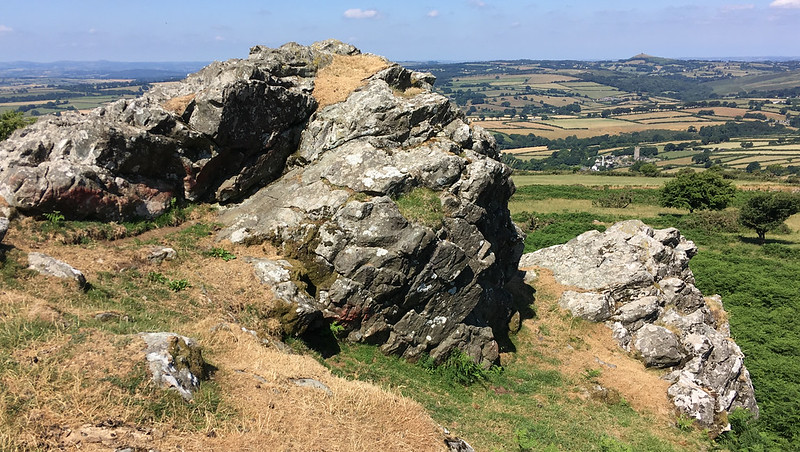 Crossing makes reference in 'One Hundred Years on Dartmoor' (1902), stating "Sharp Tor (Peter Tavy) - Between Cocks' Tor and Great Combe Tor" and later, in his Guide (1912), he writes more; "Great Combe Tor rises on the other side of this little valley, and beyond it is Cocks' Tor Hill. The tor seen between the two is locally known as Sharp Tor." When seen from Twyste Lane to the north, beneath the rocks of Boulters Tor, Sharp Tor is of surprising elevation, sitting on the crest of the hill between Great Combe Tor and the imposing dome of Cocks Tor Hill. At closer quarters the tor, crowned by spindly hawthorns, consists essentially of three large rock crags that overlook the delightful Peter Tavy Combe, so admired by Crossing. From here the scenery to the north-west is striking, for it takes in not only the three churches of Brentor, Mary and Peter Tavy but also enables a sighting of the distant disused mine remains of Wheal Betsy.  Above the tor, a short distance to the south-west, two reaves join to form a T junction on the levelling moor and of the three rocks below, the largest crag is the central southern pile. Rising to a height of around 4 metres, it is much-weathered and ridged rock, having been relentlessly chiselled by the wind and rain from the west. Although a largely forgotten tor of modest proportions, it is a place that offers fine scenery and a serenity that is beyond compare. Sharp Tor is best reached by taking the marked public bridleway that passes close by to the north where it splits, which gains the visitor the best vantage point from below, and a visit is thoroughly recommended. 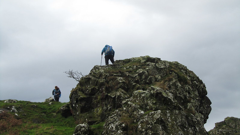
| ||||||||||||||||||||||||||||