TORS OF DARTMOOR
a database of both lesser- & well-known rocks and outcrops
Sharpitor (Walkhampton)Sharp Tor, Sharpetorre, Sharpatorrbeme, Sharp-a-Tor, Sharper Tor 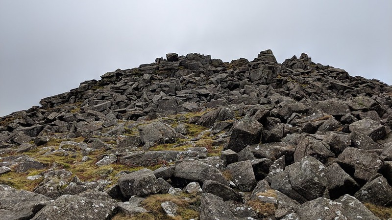 Despite its closeness to the road and relative ease of access this tor has received somewhat scant attention in the literature. William Crossing fails to describe it any detail in his Guide to Dartmoor apart from a cursory reference in passing on route to elsewhere, but to any visitor taking the time to climb the gentle slope from the north this is a grand tor with a massive spread of clitter on both the north and east slopes where its ruin is immense. The broken granite field here is one of the finest on Dartmoor spreading in all directions. As the nearest car park is on the B3212 road and therefore requires only a 5-10-minute walk up to the top it has recently become popular with families and casual visitors to the moor. 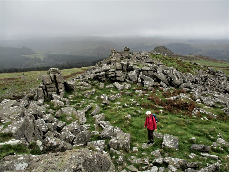 Eric Hemery offers some insight into the location: "Sharp Tor (1,300 feet) provides the immediate backdrop for this interesting scene. Despite its name, it appears from some viewpoints to be quite blunt when compared with the conical peak of nearby Leather Tor. On climbing it, however, the reason for the name becomes clear...there is here neither the cone nor the precipitous face that characterizes other 'Sharp' tors but a remarkable cock's comb crest - the edge of a saw rather than the point of a spike." As the author describes the summit outcrops form the main tor remnant and present as a compact group of largely square split piles extending to the south into a dip or saddle that is studded with small stacks but there is another grand group of rocks on the southeast side that are set above the small, detached outcrop of Little Sharpitor. Here we see the complete ruin of the tor with rocks piled up and spilling downhill almost like a quarry spoil tip. 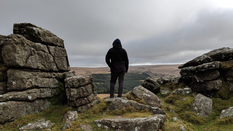 In February 1984, a parcel of near 30 acres of land around the rocks was purchased by the Dartmoor Preservation Association (DPA) making it their very own tor. The land was bought after a protracted negotiation to protect the tor from any kind of development such as that which occurred in World War Two with the abandonment of old wartime installations such as the transmitting station at nearby RAF Sharpitor on Peek Hill. To commemorate the achievement the Authority erected a series of five boundary stones inscribed with their initials. 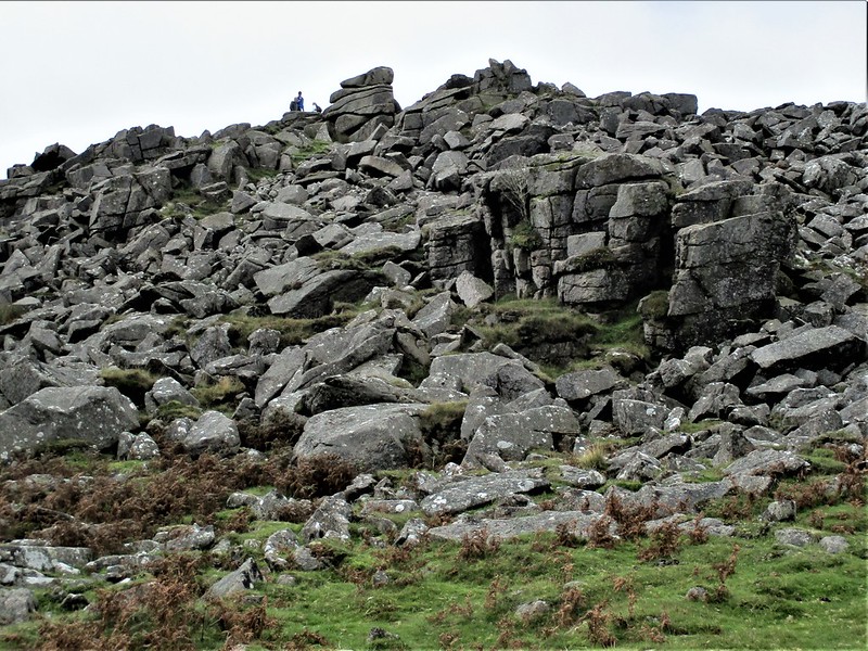 The views from the top of the tor are exceptional, especially downhill to the south where the curious main mass of Leather Tor dominates like a dorsal fin even though it is well below. Beyond here and to the right is the incredible bulk of Sheeps Tor that rears its head from the valley like a miniature mountain.
| ||||||||||||||||||||||||||||||