TORS OF DARTMOOR
a database of both lesser- & well-known rocks and outcrops
Shavercombe Tor
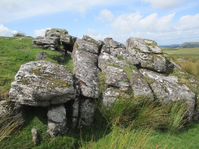 Above and a little to the west of the same named Brook, Shavercombe is a fairly modest tor consisting essentially of one main outcrop amid scattered and quite lowly granite boulders. In its defence it does have some nice granite shapes for its low stature and is well worth a look if you happen to be passing. Eric Hemery (1983) provides a succinct but perfect assessment of the rockpile in his book 'High Dartmoor' where he writes on page 200: "Shavercombe Tor (approx. 1,175 feet) has sacrificed whatever impressiveness it once possessed to the clitter on Shavercombe Down; it is a satisfying place from which to regard the Thrushelcombe antiquities - or to look across the little canyon of Shavercombe to the distant, dark lump of Great Gnats Head." 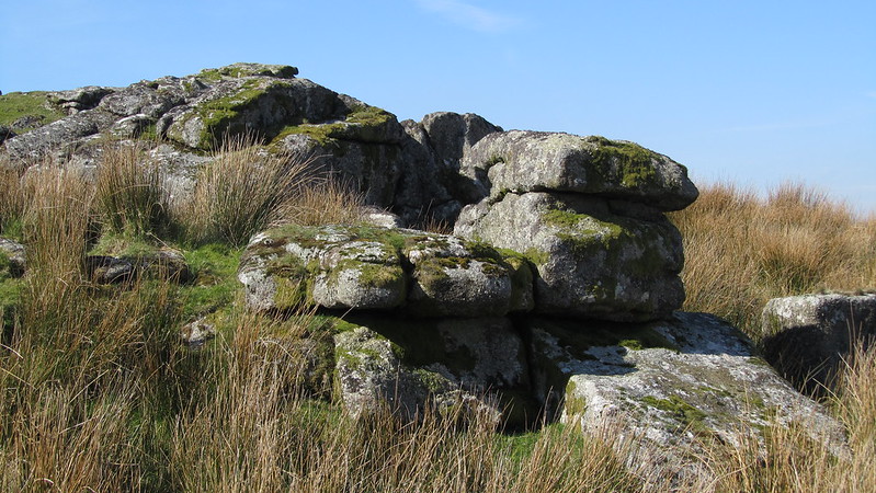 However, access to the tor can be difficult at times because of the fluctuating height of the River Plym that somewhat acts as a barrier on the western side, but whichever way you choose to get here, you will be rewarded with solitude and complete isolation. Nearby is the picturesque waterfall (marked on Ordnance Survey maps) and rocky gorge of the Brook that is recorded elsewhere on this website here. 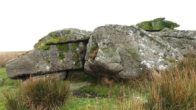 William Crossing (1912) describes it in his 'Guide to Dartmoor', remarking on a route from head to foot: "Shavercombe is one of those delightful little valleys which the rambler on Dartmoor meets with occasionally, where a mountain ash or an oak find shelter, and where ferns grow abundantly. As we make our way downward its beauties speedily begin to reveal themselves. Ere we have gone far the stream falls over a high rock forming a charming cascade when rains have swollen its volume. Below this and quite close to the deep combe, is the tiny Shavercombe Tor, and near it a small pound with hut circles." 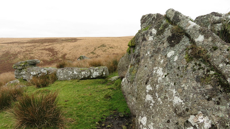 Shortly after the death of the well-known letterboxing enthusiast John Mann in 2013, a large boulder on the southern slopes of the tor was rather crudely engraved with his initials JWM and the names of three of his dogs - Storm, Thunder and Tammy - with all the letters picked out in black paint. Unauthorised and rightly deemed as graffiti by the Dartmoor National Park Authority the inscription was removed in 2019.
| ||||||||||||||||||||||||||||||