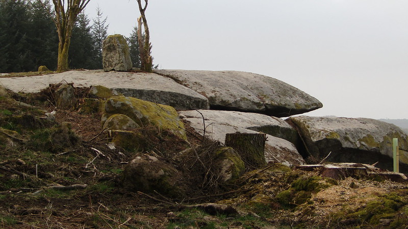
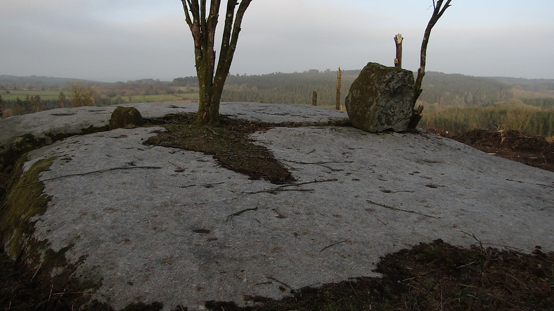
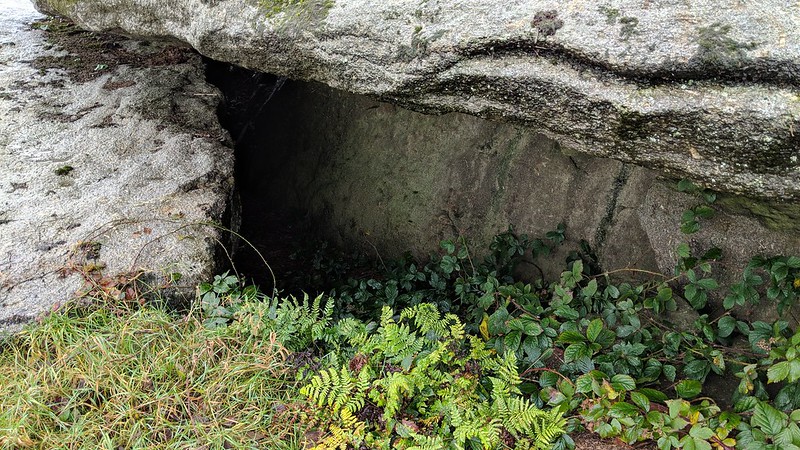
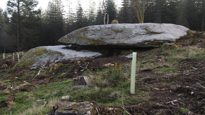
An old 1800's map, names 'Shillyrock' south-east of Blackingstone Rock, and north-west of Laployd Plantation. Recent tree felling in the area has revealed the outcrop. But it possesses another name.
In his Guide to Dartmoor William Crossing (p268) advises that: "Not far from Blackingstone is a pile of rocks bearing the name of the Druids' Altar." For some time prior to 2018 there had been speculation about the exact location of these rocks and in that year, Paul Buck noted this flattened group well to the south-east of Blackingstone Rock.
Given its distinctive appearance from the side where it resembles a giant granite table, and in the absence of any definition of 'not far' it would seem that the mystery has finally been resolved.
Shillyrock
The map above is not a navigation tool and we recommend that the grid reference shown below is used in conjunction with an Ordnance Survey map and that training in its use with a compass is advised.
We are proud to see the names of lesser-known tors are now being used more commonly on other websites and whilst this is to be encouraged we do request that, should you wish to use the information on this page, you provide a backlink to the website as reference, by copying the relevant address:
Please also consider a small donation to the upkeep of the site; any contribution goes toward the fees to keep the database online and any costs incurred when undertaking research such as subscriptions to online archives.