TORS OF DARTMOOR
a database of both lesser- & well-known rocks and outcrops
Shilstone TorShellstone Hill, Shilstone Hill 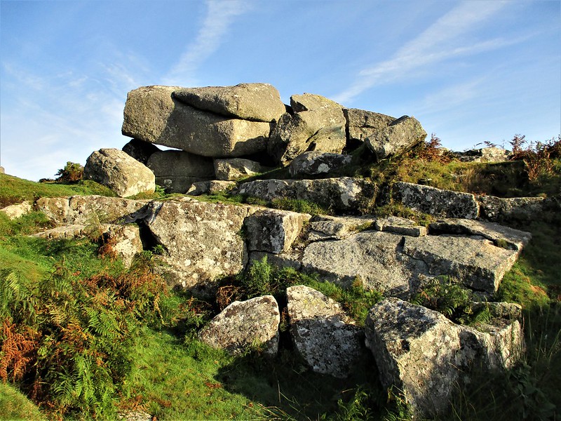 Shilstone Tor is rather humble, situated on the far east slope of Shilstone Hill a short way above the road. Indeed it is quite easy to miss. A small car park enables very easy access to the inconspicuous rockpile, however, which makes it a good place from which to start exploring Throwleigh Common and beyond. 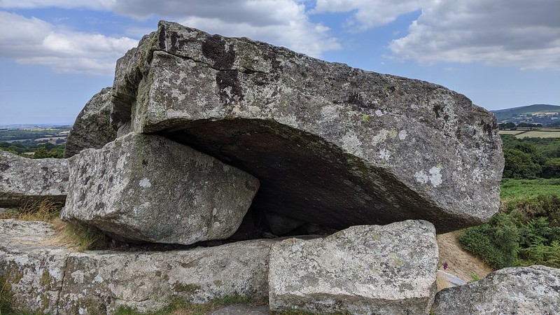 The tor itself has largely been exploited by stonecutters which has, without doubt, been the primary reason for its rather shoddy appearance today. Several feather and tare marks, used to split granite in half, can still be seen, while to the immediate south a large part of the tor has been removed with a small quarry remaining in its place. The outcrop provides lovely views eastward towards Mid Devon, East Dartmoor and the 'eastern highlands' that constitute Haytor Rocks and its neighbouring tors. The lowest part of Shilstone Tor is massive slab bedrock which is concealed by bracken in summer. 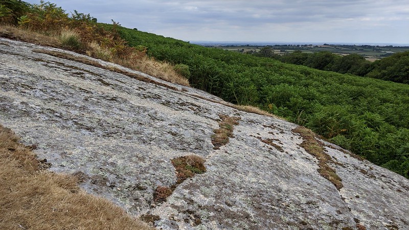 Eric Hemery (1983) connects the name derivation of 'Shilstone Tor' to that of 'Shelstone Tor', overlooking the West Okement Valley. The name is likely a corruption of 'shelf stone' and the author suggests that the top slab of the tor may at one time have possessed a protruding rock. Whilst the tor's overall stature leaves little to be desired, it nonetheless boasts charm and its surroundings evoke interest. 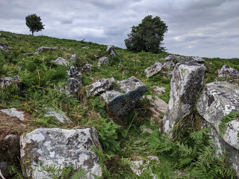 Shilstone Hill, and the greater Throwleigh Common, is rich in prehistoric antiquities that are among the finest in the area. Hut circles speckle the north-east flank of the hill to the north of the tor. In the summers of 2021 and 2022, the Dartmoor Youth Rangers cleared bracken from the higher hut circles at SX 65794 90571 to reveal them to visitors once again. The STOCK (Sticklepath, Okehampton and Chagford) group also continue to do a lot of work here using strimmers, alongside Dartmoor Ranger Ian Brooker. This location is an important site on Dartmoor because it demonstrates why the huts were put here in the first place. Firstly, being high on the slope gives a defensible position, and secondly, in the Bronze Age this land would have been much easier to settle with less trees than the lowlands. The settlement has been bisected more recently by a now dry leat; it is thought this once supplied water to Bradford Pool. A large hut beside the road (SX 65921 90228) contains large granite boulders and is a superb example.
| ||||||||||||||||||||||||||||||