TORS OF DARTMOOR
a database of both lesser- & well-known rocks and outcrops
Simon's Lake Tor
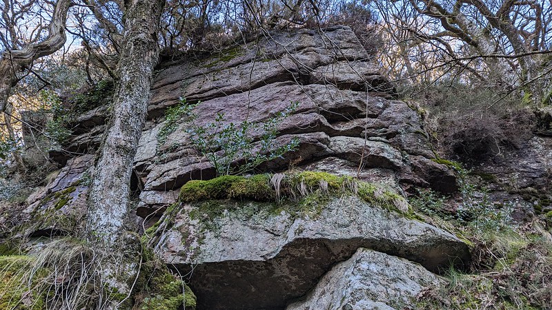 Simon's Lake is a relatively short watercourse that runs to the west of Mel Tor having its origins according to Hemery (1983) 'within Ollsbroom Newtake immediately to the south of the B3357'. From here the stream gradually gathers momentum before emptying into the River Dart below a small but charming waterfall at a picturesque spot known as Broad or Broada Stones (SX 6888 7235), where several huge flat slabs are exposed on the northern bank and stretch out across the water. Much visited and well documented by a succession of authors Broada Stones receives its own entry elsewhere on this website. 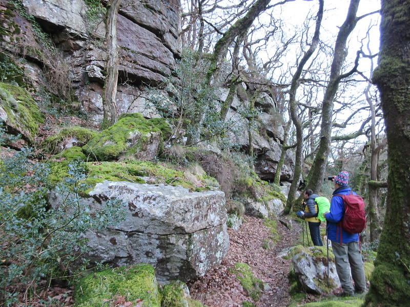 About 150 metres to the east of here is a hugely impressive crag of rock on the same side of the river and close to its edge. This is Simon's Lake Tor that has been noted in recent years by Steve Grigg yet it is surprisingly not recorded in the literature, although it must have been seen by those visiting the area in the past. The tor here presents as a grand rugged rock face that rears up from just above the river bank and is quite humbling to stand beneath. 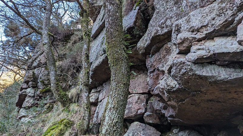 It gives the impression of a rarely visited place set as it is under the far south western edge of the precipitous slope of Mel Tor (Mil Tor) Wood. Although William Crossing refers to the Broad Stones in his Guide to Dartmoor (p458) and then describes the route beyond to the aforementioned Wood he mysteriously overlooks this fine spectacle. 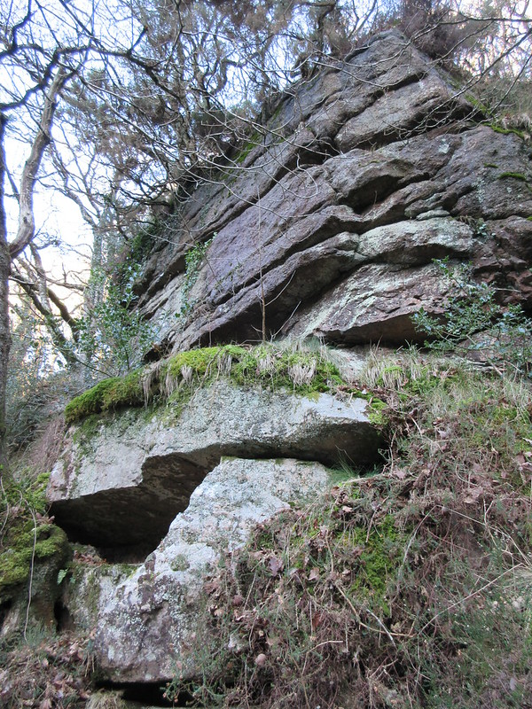 Please be warned that access to this part of the Dart can be challenging. It can be reached with perseverance from the direction of Dartmeet via Luckey Tor but the path does deteriorate in places and will therefore require some effort to reach your destination. Alternatively a footpath descending around Rowbrook Farm to the north gives access to Luckey Tor and from there the route along the riverbank to Simon's Lake Foot and beyond is fairly straightforward. Whilst this is probably the preferred way to reach the tor you will then be faced with the long climb back out.
| ||||||||||||||||||||||||||||||