TORS OF DARTMOOR
a database of both lesser- & well-known rocks and outcrops
Sittaford TorSiddaford Tor
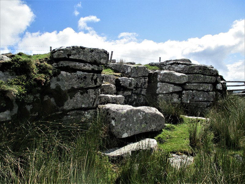 As high tors go, Sittaford is surprisingly underwhelming at close quarters, because from far and wide it presents as a lofty hilltop yet upon visiting the outcrops, they are meagre at best. Indeed, T.A. Falcon remarks that "There is nothing of particular interest here..." It is only the tremendous 360-degree views and incredible position that warrant a visit under clear skies as they are mesmerising. The tor is situated little more than a kilometre to the west of Fernworthy Forest and is divided by three newtake walls. No less than three wooden stiles have been erected to enable access to all parts of the tor and there are wide, grassy paths that head up to it from Stats House, Long Ridge, Fernworthy Forest and Postbridge respectively. Whilst visitors are immediately drawn to the summit, which is easy to ascend and is completely covered in short-cropped grass to actually find any decent granite, one must negotiate the stiles and look below. 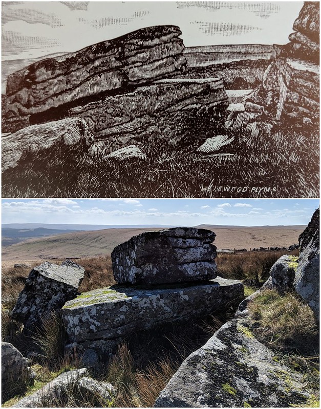 One of the better parts of the tor is perhaps the southern face, where the granite is broken and shows clear horizontal jointings in the rock. Sittaford was once well-known for housing a very fine logan stone, which has been sketched and photographed by a few Dartmoor writers in the past before its supposed destruction c.1956 by means and persons unknown. Burnard (1986), in his 'Pictorial Records', includes a sketch of the logan in the reprinted edition of his book by his granddaughter, Lady Sylvia Sayer. Falcon, in 'Dartmoor Illustrated', despite being unimpressed by the tor, adds that: "Emphatic asservations by one of the Perrotts of Chagford to the effect that this is one of the most easily rocked Logan Stones, lead [sic] the writer to conclude that he was unlucky in his efforts or the positions chosen. Still, there was, perhaps, a good deal of local patriotism in the depiction of the ease with which it was possible to move it." 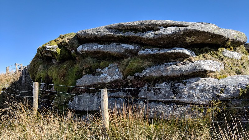 As Crossing (1912) and Hemery (1983) both use the spelling of 'Siddaford' instead of 'Sittaford', it would seem that the latter interpretation might be a modern mistranscription by the cartographer yet remains to this day on OS maps. 'Siddaford' appears to derive from 'South-a-Ford' so the tor is somewhere to the south of a ford... but which ford? The North Teign River flows between the tor and Quintin's Man to the north-west, and indeed there is a ford there by the newtake wall (SX 62591 83361) close to Maish Gate Ford (SX 62774 83325), so is one of these the crossing places that gives Siddaford its name? Hemery thinks slightly differently: "...in my opinion, [it] takes its name from the ford on Maish Hill Brook linking it with Stats House Cut. This ford is south of Maish Gate Ford..." SX 62620 82701 is the location, but this is to the south-west of the tor. 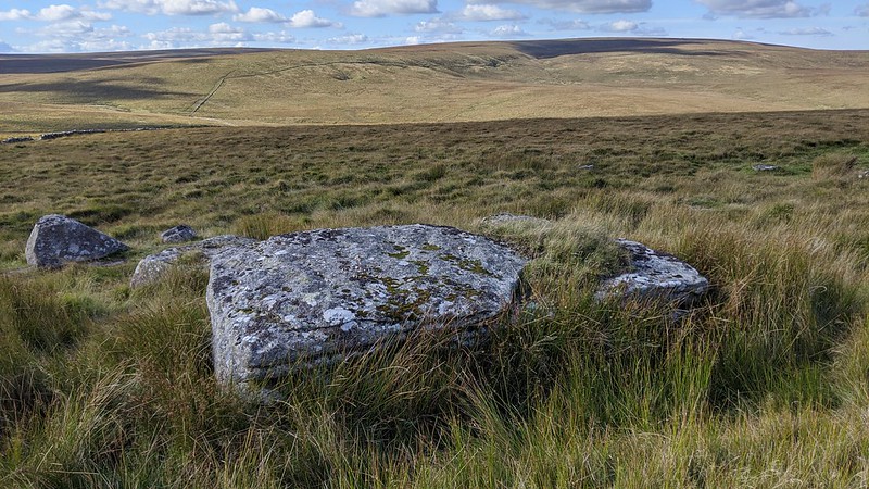 Sittaford Tor, aside from its thrilling vista, also boasts not one but three prehistoric stone circles on its slopes, each no less than 1 kilometre from the tor itself, making Sittaford a very significant ceremonial landmark. Two on the lower east flank side by side are known as the 'Grey Wethers', with 'Wether' being the old Dartmoor name for sheep. It is thought that someone saw the stones from afar and thought they were sheep standing in circles! The other circle is more lesser-known and was first marked on the Ordnance Survey map as recently as September 2024 thanks to the efforts of Max Piper. It lies to the south-west of the tor on a plateau (SX 63019 82813) and was discovered by Alan Endacott of Throwleigh in April 2007. At 525m above sea level, the circle is the highest in southern England and is the southernmost in a crescent of stone circles arching northward terminating at White Moor; and is known to some as the 'Sacred Crescent'.
| ||||||||||||||||||||||||||||