TORS OF DARTMOOR
a database of both lesser- & well-known rocks and outcrops
Skit Crags
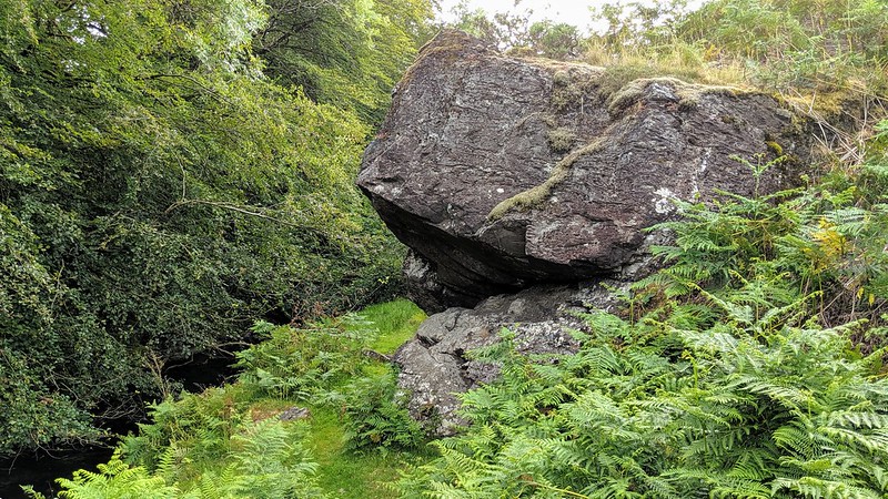 In High Dartmoor (p937) Hemery mentions a line of metamorphic crags on the right bank of the Lyd as it leaves the open moor. These are also shown on the pre-1888 25" OS map, but neither source names them. Thanks go to Peter Freeman for alerting us to this lesser visited section of the moor and whom we credit for being the first to offer a name for these crags. It fits well with the Tithe Map for the Parish of Lydford with many plots to the west using the name 'Skitt' in various forms. 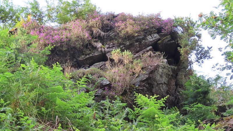 They are an easy walk due south from High Down Car Park but you don't actually get to see anything until you are right on top of them. The main pair of stacks found at SX 5222 8446 at the south-western end are the more spectacular. From here, the Lyd flows into private land at Skit Wood (Skitt Wood on the signpost, just one "t" in Crossing and Hemery), but more outcrops are visible among the trees, running down to Skit Bridge (Kitts Bridge on OS maps) where the A386 crosses the Lyd. 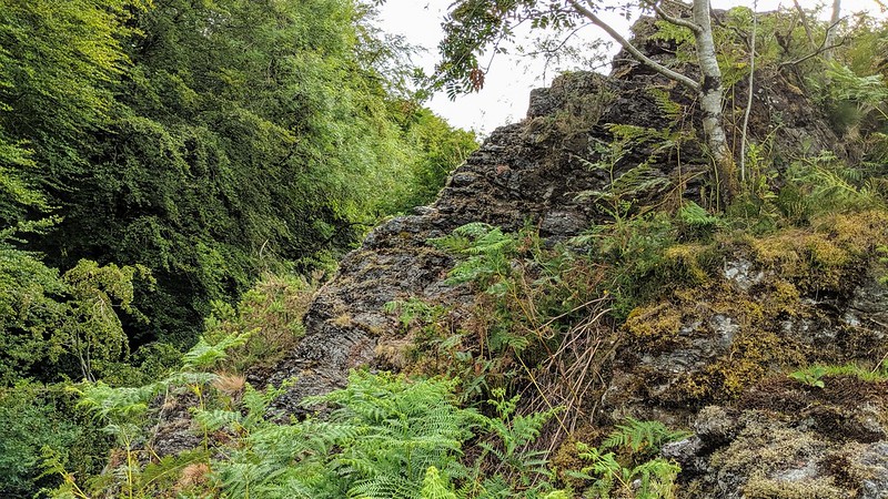 The sections upstream are less notable (not all pictured here) but we have listed them for those wishing to seek them out. By taking the bridleway to the ford and footbridge at the confluence of the Wallabrook and the Lyd, the visitor will find the eastern section at SX 5278 8476. Heading downstream from here close to the Lyd there are a couple of smaller outcrops, at SX 5260 8453 & SX 5232 8450. Take heed that whilst these minor middle piles would be missed were the bridleway to be taken this route relies on the footfall of livestock, is boggy in places and is often lost in the dense bracken in summer. 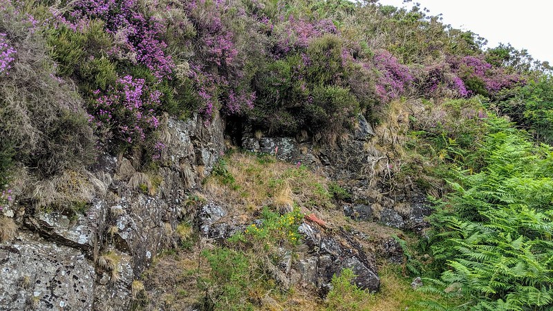
| ||||||||||||||||||||||||||||||