Hard to believe it has been over seven years since the path along the western side of Meldon Reservoir was closed off to the public when an access agreement between Dartmoor National Park Authority and the landowner ended. It's a shame because this permissive path, which went from Vellake Corner to the car park, created a very pleasant circular walk around the reservoir of about three and a half kilometres.
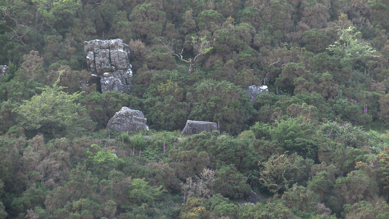
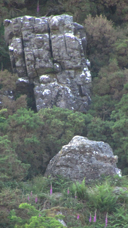
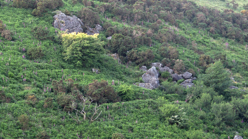
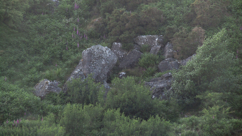
Before the footpath became private property, you passed under a large outcrop and fallen boulders at about SX 5568 9094.
Nowadays, the only legal way to view the outcrop is from the slopes of Homerton or Longstone Hills on the other side of the reservoir.
South Down South-East
The map above is not a navigation tool and we recommend that the grid reference shown below is used in conjunction with an Ordnance Survey map and that training in its use with a compass is advised.
We are proud to see the names of lesser-known tors are now being used more commonly on other websites and whilst this is to be encouraged we do request that, should you wish to use the information on this page, you provide a backlink to the website as reference, by copying the relevant address:
Please also consider a small donation to the upkeep of the site; any contribution goes toward the fees to keep the database online and any costs incurred when undertaking research such as subscriptions to online archives.