TORS OF DARTMOOR
a database of both lesser- & well-known rocks and outcrops
South Hessary TorSouth Hisworthy Tor, Little Hisworthie, Histworthy Tor, Lookout Tor, Look Out Tor, Look-Out Tor, Tor Royal 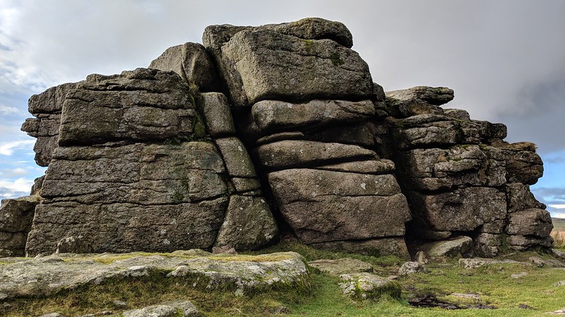 There are two major outcrops of granite sited by a popular cycle track that passes near to Eylesbarrow, the highest of which is topped by a cobra-like feature, which, like its northern neighbour, is also a boundary point in the 1240 Perambulation. Samuel Rowe calls the tor both "Little Hisworthie" and "Histworthy Tor". 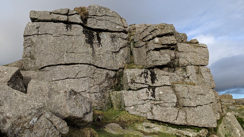 Hemery says; "From the east or west, the block-like aspect of S. Hessary Tor (approx. 1,490 feet) suggests a hilltop fort, for which reason its local name of 'Lookout Tor' is apt." The tor is also known by another name, Tor Royal, which is also used for the nearby B&B and farm. Mudge and Rowe use this name to describe these rocks. 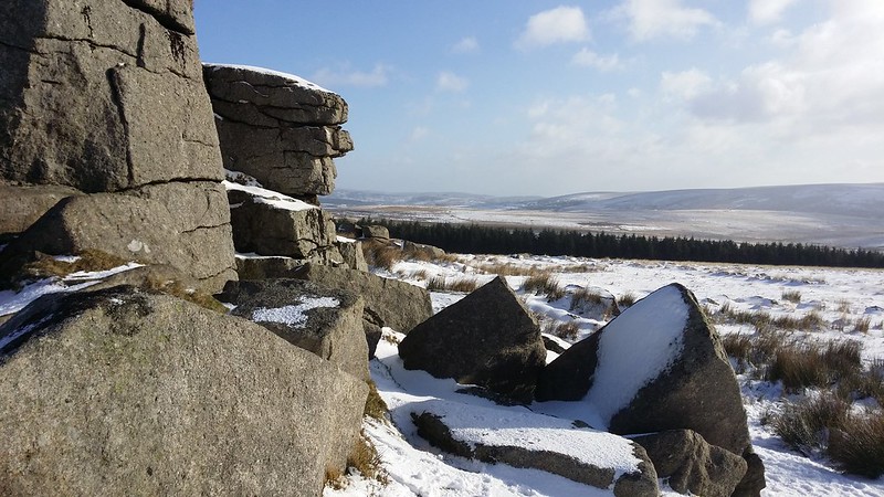 The history of the area abounds with interest; "Tor Royal Farm dates from 1785 when Sir Thomas Tyrwhitt with his plan of farming Dartmoor started building his home on the Peat Cott/Whiteworks road. Many of the properties around Tor Royal including the Plume of Feathers Inn were built to accommodate his agricultural workers, grooms and miners. Sir Thomas Tyrwhitt, son of an Essex country vicar, was secretary to the Prince of Wales, later to become George IV, and appointed as auditor to the Duchy of Cornwall in 1786 and later in 1812 as Gentleman Usher of the Black Rod." 
| ||||||||||||||||||||||||||||||