TORS OF DARTMOOR
a database of both lesser- & well-known rocks and outcrops
Stalldown Clitter
 There is a huge spreading fan of clitter on the lower southeast slopes of Stalldown high above the Yadsworthy enclosures that merits some attention. Although the rocks here sprawl far and wide none of them reach any great height possibly a metre or so high at best. Walking amongst them is an interesting experience as there are at least two strange man-made shelters appearing as low walls at SX 63288 61416 and SX 63333 61364 respectively, that have been built around largish boulders looking out towards the curious Hanger Down Clump a distinctive cluster of trees on the far southwest horizon. 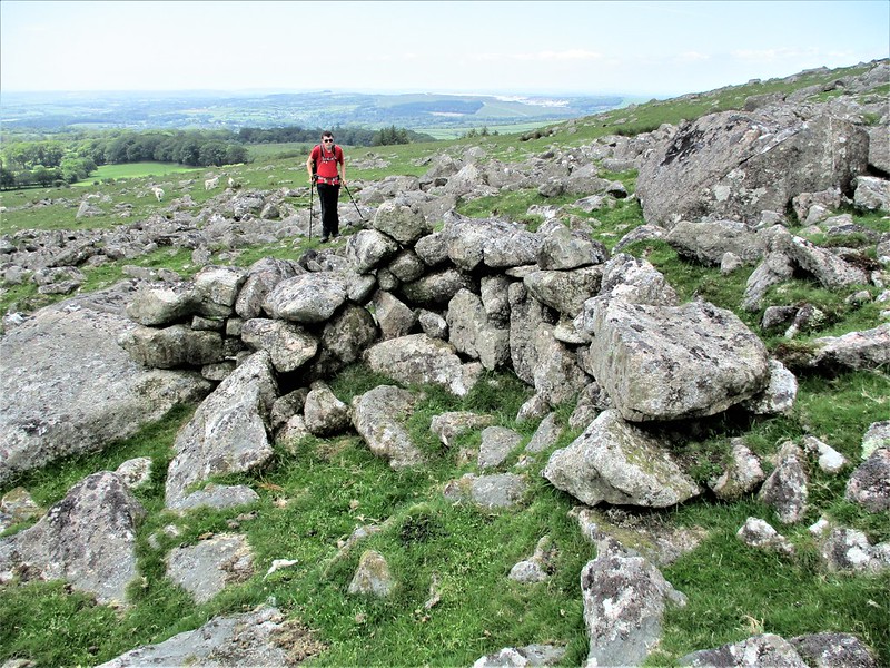 Indeed, further down the slope there are numerous ancient settlement walls indicated on OS maps suggesting that the granite here was once used as a building stone, but it has not been quarried in more recent times as there are no apparent signs of rock splitting. The antiquities are remarked upon by Hemery (1983) "On Staldon's south foot, above Yadsworthy Waste, there exists a concentration of pounds and hut-circles threaded by the stony track from Watercombe Gate to the Erme water-intake..." but after an on the ground assessment of the area Jeremy Butler (1994) is a little less enthusiastic about the remains writing "The slopes of Stalldown Barrow in the vicinity of Watercombe Gate have been stripped of much surface stone suitably sized for wall building, quite possibly resulting in the loss of some prehistoric structures, though here and there short lengths of low rubble banking are perhaps the remnants of huts and enclosures". 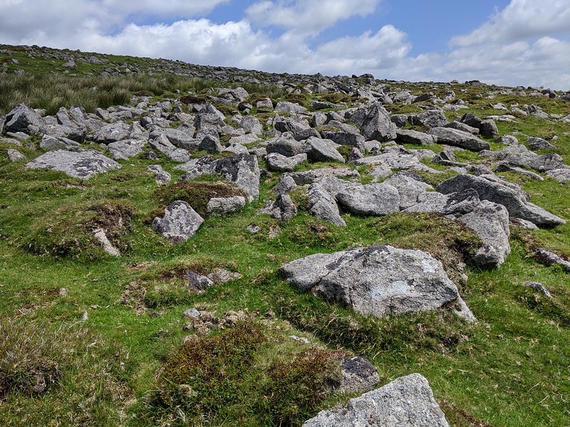 Given the size of the rock field here, it is surprising to find that nothing appears in the literature until very recently it seems, 2021 to be exact, when the clitter gets a mention in Dartmoor News 177 from Max Piper. He suggests it as a possible location for Watercombe Rocks, this being a name that consistently appears in various sporting journals of the late 19th Century, though that outcrop is now thought to be situated elsewhere probably on private land closer to the same named Farm. 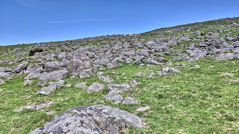
| ||||||||||||||||||||||||||||||