TORS OF DARTMOOR

a database of both lesser- & well-known rocks and outcrops

Home Search Map The East Access About Team Social Blog

Steps Bridge Rocks

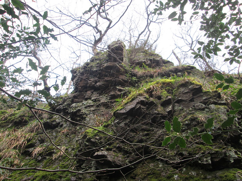
Just within the parish boundary and clearly marked as an outcrop on OS maps and lying above Steps Bridge there is a huge embedded rock face running parallel with the river and above the path that leads westward towards Clifford Bridge.

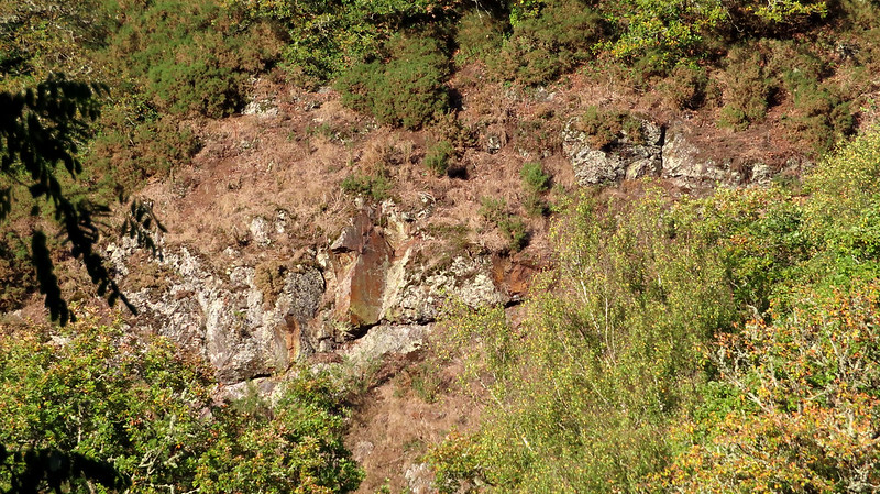
Its summit rocks are only just visible through the trees even in the winter months and some of the lower rocks nearer the path contain small caves.
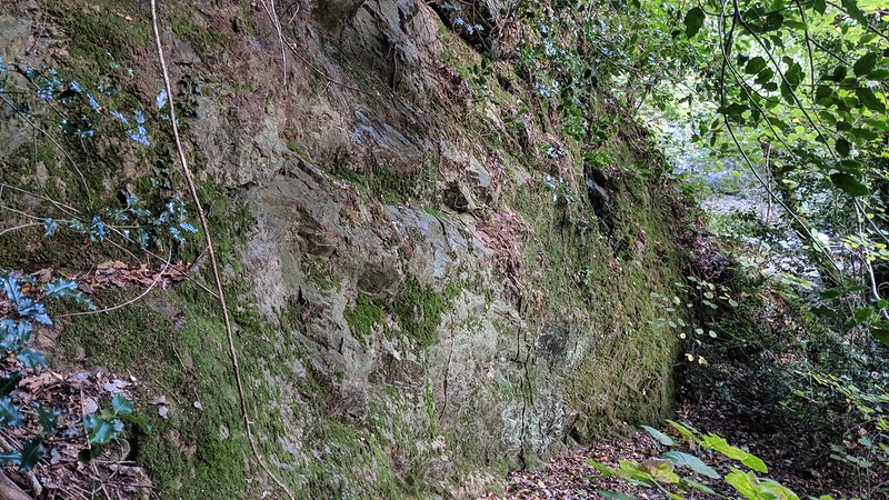
icon
icon
Steps Bridge Rocks
The map above is not a navigation tool and we recommend that the grid reference shown below is used in conjunction with an Ordnance Survey map and that training in its use with a compass is advised.
Grid Ref:
SX 8038 8843
Height:
120m
Parish:
Dunsford
Tor Classification:
Valley Side
Access:
Public
Rock Type:
Metamorphic
Credit:
Tim Jenkinson
Reference / Further Reading:
Tim Jenkinson: East Dartmoor The Hidden Landscape: Rocks and Tors (published privately)

Please Support Us

We are proud to see the names of lesser-known tors are now being used more commonly on other websites and whilst this is to be encouraged we do request that, should you wish to use the information on this page, you provide a backlink to the website as reference, by copying the relevant address:

https://www.torsofdartmoor.co.uk/tor-page.php?tor=steps-bridge-rocks

Please also consider a small donation to the upkeep of the site; any contribution goes toward the fees to keep the database online and any costs incurred when undertaking research such as subscriptions to online archives.