TORS OF DARTMOOR
a database of both lesser- & well-known rocks and outcrops
Stone TorStonetor Hill, Thurston Tor
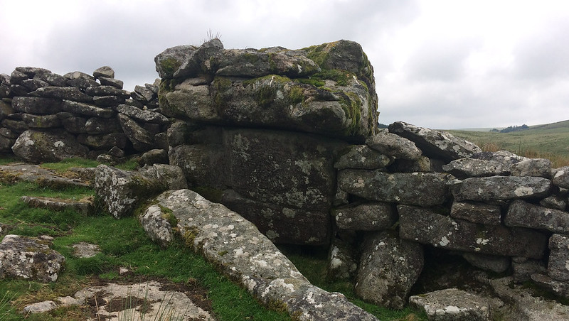 This is a good example of a ruined tor, situated near to the north-west corner of Fernworthy Forest. There is still an outcrop remaining, block-like, whereas the rest of the tor is composed of clitter, bisected by a newtake wall that runs between the aforementioned forest and Manga Rails at the North Teign River, where a number of gates and stiles provide access from the surrounding moorland. The hill seems rather nondescript at first, but it does possess some interesting features and is located on the boundaries of Dartmoor Forest and Gidleigh and as such a 'GP' for Gidleigh Parish is inscribed, this seen in huge lettering on the very top of the main rockpile. 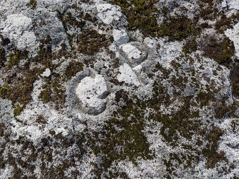 Eric Hemery comments; "Above the right bank and a hunting-gate, and completely Incorporated in the 'lace work' wall here, is the little pile of Stone Tor (approx. 1,350 feet), from which the tract separating the two branches of the brook, Stonetor Hill, is named. A small clitter lies on the hill below the tor, approximately a hundred yards south-west of which a large slab has been triggered up and cut by masons." Only the name of 'Stonetor Hill' is given by the Ordnance Survey, implying that the tor is of little merit, but it wouldn't be too far fetched to suggest that sections of it were taken to build the wall and one can only imagine its former size before the stonecutters arrived. 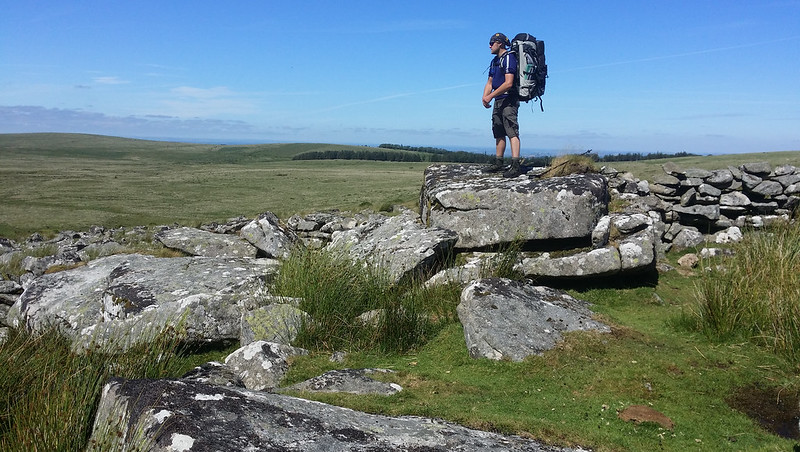 Stone Tor is often passed by those walking the Perambulation of AD 1240 that encloses the Forest of Dartmoor; it is not mentioned by name, however, William Crossing explains that the tor has another appellation, albeit a rather dubious one; "I have a copy of a document in my possession in which the forest line is drawn to the east of the one recognized by the border commoners, and this runs to what is there called Thurston Tor, or Stone Tor. But I cannot find any other mention of Thurston Tor as identical as Stone Tor." The views from Stone Tor are pleasant embracing much of the huge shallow basin of Batworthy Mires where the Walla Brook enters the North Teign, and nearer Stonetor Brook there is a fine feather and tare stone at SX 64738 85732. 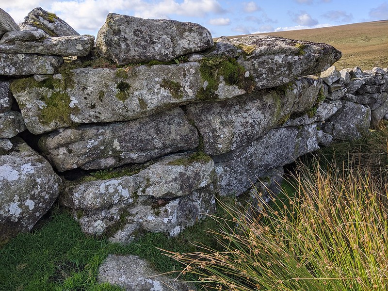
| ||||||||||||||||||||||||||||